Pembina River Provincial Park
| Pembina River Provincial Park | |
|---|---|
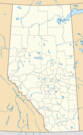 Location of Pembina River Provincial Park in Alberta | |
| Location | Yellowhead County, Alberta, Canada |
| Nearest city | Entwistle, Evansburg |
| Coordinates | 53°36′28″N 114°59′50″W / 53.60778°N 114.99722°WCoordinates: 53°36′28″N 114°59′50″W / 53.60778°N 114.99722°W |
| Area | 191 ha (470 acres) |
| Established | September 21, 1953 |
| Governing body | Alberta Tourism, Parks and Recreation |

Pembina River Provincial Park is a provincial park in central Alberta, Canada.

Pembina River gorge
It is located between the towns of Entwistle and Evansburg, a short distance from the Yellowhead Highway. The short 16A highway spur crosses the southern edge of the park, which is developed along the gorges of the Pembina River. The gorges cut in sandstone reach 62m in height, and were formed during the glaciation.
Activities[]
Birding and camping are the most common activities in the park.[1] Water related sports like fishing, canoeing and tubing are also popular.
See also[]
- List of provincial parks in Alberta
- List of Canadian provincial parks
- List of National Parks of Canada
References[]
- ^ Alberta Tourism, Parks, Recreation & Culture. "Activities in Pembina River Provincial Park". Retrieved 2007-07-22.CS1 maint: multiple names: authors list (link)[permanent dead link]
External links[]
- Alberta Tourism, Parks, Recreation & Culture. "Pembina River Provincial Park". Retrieved 2007-07-22.CS1 maint: multiple names: authors list (link)

This Alberta protected areas related article is a stub. You can help Wikipedia by . |
Categories:
- Provincial parks of Alberta
- Yellowhead County
- Alberta protected area stubs