List of Indiana state historical markers in Newton County
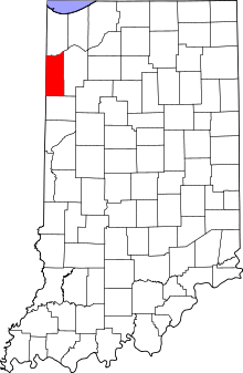
Location of Newton County in Indiana
This is a list of the Indiana state historical markers in Newton County.
This is intended to be a detailed table of the official state historical marker placed in Newton County, Indiana, United States by the Indiana Historical Bureau. The location of the historical marker and its latitude and longitude coordinates are included below when available, along with its name, year of placement, and topics as recorded by the Historical Bureau. There is 1 historical marker located in Newton County.[1]
Historical markers[]
| Marker title | Image | Year placed | Location | Topics |
|---|---|---|---|---|
| [2] | 1966 | U.S. Route 24 at the Illinois state line west of Kentland 40°46′14″N 87°31′33″W / 40.77056°N 87.52583°W |
Early Settlement and Exploration |

See also[]
- List of Indiana state historical markers
- National Register of Historic Places listings in Newton County, Indiana
References[]
- ^ "Indiana Historical Markers by County". State of Indiana. Retrieved 2012-03-15.
- ^ State Line Survey, Indiana Historical Bureau, n.d. Accessed 2012-03-14.
External links[]
Municipalities and communities of Newton County, Indiana, United States | ||
|---|---|---|
| Towns | ||
| Townships | ||
| CDPs | ||
| Other unincorporated communities | ||
| Footnotes | ‡This populated place also has portions in an adjacent county or counties | |
| ||
Categories:
- Indiana state historical markers
- Tourist attractions in Newton County, Indiana