List of mountains in Hungary
This list of mountains in Hungary is actually a series of sortable tables of major mountain peaks of Hungary. The summit of a mountain or hill may be measured or sorted in several ways.
- The topographic elevation of a summit measures the height of the summit above a geodetic sea level.[1] The first table below ranks the 10 highest major summits of Hungary by elevation with a prominence of 5 m or more. The second table is the same, just with a prominence of 100 m or more.
- The topographic prominence of a summit is a measure of how high the summit rises above its surroundings. The third table below ranks the 20 most prominent summits of Hungary.
- The highest summit of a given area. It could be an administrative region (e.g. county as it is in fourth table) or a mountain range as it is in fifth table.
- The topographic isolation (or radius of dominance) of a summit measures how far the summit lies from its nearest point of equal elevation.
Mountains by elevation[]
Mountains by elevation (with a prominence of 5 m or more)[]
| Rank | Mountain | Height (m) | Prominence (m) | Range | County | Coordinates |
|---|---|---|---|---|---|---|
| 1 | Kékes | 1014.0 | 774 | Mátra | Heves County | 47°52′21″N 20°00′30″E / 47.87250°N 20.00833°E |
| 2 | 972.7 | 10 | Mátra | Heves County | 47°51′36″N 20°00′57″E / 47.86000°N 20.01583°E | |
| 3 | Galya-tető | 964.7 | 349 | Mátra | Heves County | 47°54′59″N 19°54′59″E / 47.91639°N 19.91639°E |
| 4 | 960.7 | 713 | Bükk | Heves County | 48°04′16″N 20°26′06″E / 48.07111°N 20.43500°E | |
| 5 | 960.4 | 8 | Mátra | Nógrád County | 47°55′05″N 19°55′19″E / 47.91806°N 19.92194°E | |
| 6 | 958.2 | 8 | Bükk | Heves County | 48°04′20″N 20°26′07″E / 48.07222°N 20.43528°E | |
| 7 | Istállós-kő | 958.1 | 14 | Bükk | Heves County | 48°04′10″N 20°25′49″E / 48.06944°N 20.43028°E |
| 8 | 956.4 | 81 | Bükk | Heves County | 48°05′58″N 20°28′20″E / 48.09944°N 20.47222°E | |
| 9 | 955.9 | 61 | Bükk | Heves County | 48°04′16″N 20°27′12″E / 48.07111°N 20.45333°E | |
| 10 | 955.0 | 30 | Bükk | Heves County | 48°04′02″N 20°26′37″E / 48.06722°N 20.44361°E |

Mountains with a prominence of 100 m or more[]
Mountains by prominence[]
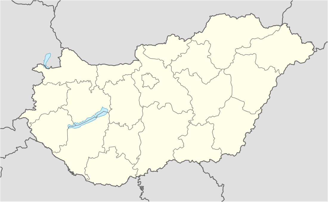
Highest mountain of each county and Budapest[]
Location[]
Kékes 1014m
Péter-hegyese 960m
Felső-Borovnyák 945m
Csóványos 938m
Írott-kő 884m
Kőris-hegy 711 m
Kék-hegy 661m
Dobogókő 700 m
Zengő 682m
Dobogó 594m
János-hegy 527m
Csóka-hegy 479m
Köves-domb 479m
Köves-tető 444m
Alman-tető 316m
Bárci-tető 220m
Ólom-hegy 172m
Sós-hegy 172m
Hármas-határ 136m
Bukor-hegy 130m
Landmark #B86 108m
Lists of mountain ranges in Hungary[]


List of the most isolated summits of Hungary[]
References[]
- ^ If the elevation or prominence of a summit is calculated as a range of values, the arithmetic mean is shown.
- ^ "Magyarország 700 méter feletti csúcsai".
- ^ "viewfinderpanoramas".
- ^ "peakbagger".
- ^ "Balassagyarmat". Magyar BarangolÓ (in Hungarian). 2012-01-08.
- ^ Highest peak of Sopron Mountains is Brenntenriegel (606m). It is located in Austria.
- ^ "HM Zrinyi".
- ^ Only peaks with height of 300 m or more are ranked.
Categories:
- Lists of mountains by country
- Mountains of Hungary
- Mountain ranges of Hungary
- Geography of Hungary
- Lists of mountains of Europe
- Lists of landforms of Hungary