Montgolfier Glacier
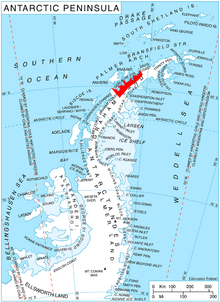
Montgolfier Glacier ( WikiMiniAtlas64°47′S 62°15′W / 64.783°S 62.250°W / -64.783; -62.250) is a glacier situated between Rozier Glacier and Woodbury Glacier and flowing between Balis Ridge and Bacho Kiro Peak into Piccard Cove on the west coast of Graham Land, Antarctica.
The glacier was mapped by the Falkland Islands Dependencies Survey from photos taken by Hunting Aerosurveys Ltd in 1956–57, and was named by the UK Antarctic Place-Names Committee in 1960 for brothers Joseph-Michel and Jacques-Étienne Montgolfier, French papermakers, inventors of the hot air balloon in 1782–83, and pioneer balloonists.[1]
References[]
- ^ "Montgolfier Glacier". Geographic Names Information System. United States Geological Survey. Retrieved 2013-11-01.
![]() This article incorporates public domain material from the United States Geological Survey document: "Montgolfier Glacier". (content from the Geographic Names Information System)
This article incorporates public domain material from the United States Geological Survey document: "Montgolfier Glacier". (content from the Geographic Names Information System)
Glaciers in the Antarctic | |
|---|---|
|
Glaciers of Graham Land | |
|---|---|
| Antarctic Peninsula |
|
| Adelaide Island |
|
| James Ross Island |
|
| Palmer Archipelago |
|
| Trinity Peninsula |
|
This article about a glacier in Danco Coast is a stub. You can help Wikipedia by . |
- v
- t
- Glaciers of Danco Coast
- Graham Land glacier stubs
- Danco Coast geography stubs
- Coordinates on Wikidata
- Wikipedia articles incorporating text from the USGS Geographic Names Information System
- All stub articles