Osum
| Osum | |
|---|---|
 Osum in Berat | |
 | |
| Location | |
| Country | Albania |
| Physical characteristics | |
| Source | |
| • location | Western Vithkuq |
| • coordinates | 40°32′10″N 20°29′29″E / 40.53611°N 20.49139°E |
| • elevation | 1,420 m (4,660 ft) |
| Mouth | |
• location | Seman near Kuçovë |
• coordinates | 40°48′46″N 19°51′32″E / 40.8128°N 19.8588°ECoordinates: 40°48′46″N 19°51′32″E / 40.8128°N 19.8588°E |
| Length | 161 km (100 mi) |
| Basin size | 2,073 km2 (800 sq mi) |
| Discharge | |
| • average | 32.5 m3/s (1,150 cu ft/s) |
| Basin features | |
| Progression | Seman→ Adriatic Sea |

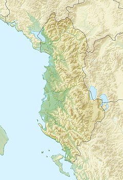
The Osum is a river in southern Albania, one of the source rivers of the Seman. It is 161 km (100 mi) long and its drainage basin is 2,073 km2 (800 sq mi). Its average discharge is 32.5 m3/s (1,150 cu ft/s).[1] Its source is in the southwestern part of the Korçë County, near the village Vithkuq at an altitude of 1,050 metres (3,440 ft). It flows initially south to the Kolonjë municipality, then west to Çepan, and northwest through Çorovodë where it flows through the famous Osum Canyon, Poliçan, Berat and Urë Vajgurore. It joins the Devoll near Kuçovë, to form the Seman. The discharge of the river is reported to vary between 5.11 m3 (180 cu ft)/s and 74.11 m3 (2,617 cu ft)/s.[citation needed]
Name[]
The name Osum derives from Albanian , O-Sum , "O" standing for "is" in Gheg Albanian and "Sum" coming from "Shum" meaning "much".
See also[]
| Wikimedia Commons has media related to Osum. |
- Geography of Albania
- Rivers of Albania
References[]
- ^ Cullaj, A., Hasko, A., Miho, A., Schanz, F., Brandl, H. & Bachofen, R. (2005). "The quality of Albanian natural waters and the human impact". Environment International. 31: 138.CS1 maint: uses authors parameter (link)
This article about a specific location in Berat County, Albania, is a stub. You can help Wikipedia by . |
This article about a specific location in Korçë County, Albania, is a stub. You can help Wikipedia by . |
- Tributaries of the Seman
- Rivers of Albania
- Geography of Berat County
- Geography of Korçë County
- Braided rivers in Albania
- Berat County geography stubs
- Korçë County geography stubs
- Europe river stubs
- Albania geography stubs