Radovesnice I
Radovesnice I | |
|---|---|
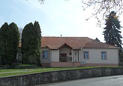 Municipal office | |
 Flag  Coat of arms | |
 Radovesnice I Location in the Czech Republic | |
| Coordinates: 50°0′38″N 15°9′3″E / 50.01056°N 15.15083°ECoordinates: 50°0′38″N 15°9′3″E / 50.01056°N 15.15083°E | |
| Country | |
| Region | Central Bohemian |
| District | Kolín |
| First mentioned | 1266 |
| Area | |
| • Total | 3.01 km2 (1.16 sq mi) |
| Elevation | 264 m (866 ft) |
| Population (2021-01-01)[1] | |
| • Total | 382 |
| • Density | 130/km2 (330/sq mi) |
| Time zone | UTC+1 (CET) |
| • Summer (DST) | UTC+2 (CEST) |
| Postal code | 280 02 |
| Website | www |

Radovesnice I is a municipality and village in Kolín District in the Central Bohemian Region of the Czech Republic. It has about 400 inhabitants. The Roman numeral in the name serves to distinguish it from the nearby municipality of the same name, Radovesnice II.
References[]
| Authority control: National libraries |
|---|
Categories:
- Populated places in Kolín District
- Villages in Kolín District
- Kolín geography stubs