Sweet Water Village, Arizona
Sweet Water Village, Arizona
O'odham: S-iʼovĭ Shu:dagĭ | |
|---|---|
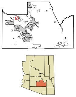 Location of Sweet Water Village in Pinal County, Arizona. | |
 Sweet Water Village, Arizona Location in the United States | |
| Coordinates: 33°7′12″N 111°50′16″W / 33.12000°N 111.83778°WCoordinates: 33°7′12″N 111°50′16″W / 33.12000°N 111.83778°W | |
| Country | United States |
| State | Arizona |
| County | Pinal |
| Area | |
| • Total | 0.80 sq mi (2.07 km2) |
| • Land | 0.80 sq mi (2.07 km2) |
| • Water | 0.00 sq mi (0.00 km2) |
| Population (2020) | |
| • Total | 123 |
| • Density | 153.75/sq mi (59.38/km2) |
| Time zone | UTC-7 (MST (no DST)) |
| FIPS code | 04-71642 |

Sweet Water Village (O'odham: S-iʼovĭ Shu:dagĭ) is a census-designated place (CDP) in Pinal County, Arizona, United States, located in the Gila River Indian Community. The population was 83 at the 2010 census.
Demographics[]
| Historical population | |||
|---|---|---|---|
| Census | Pop. | %± | |
| 2020 | 123 | — | |
| U.S. Decennial Census[2] | |||
As of the census[3] of 2010, there were 83 people living in the CDP. The population density was 103.8 inhabitants per square mile (40.1/km2). The racial makeup of the CDP was 1% White, 98% Native American, and 1% from two or more races. 19% of the population were Hispanic or Latino of any race.
Notes[]
- ^ "2020 U.S. Gazetteer Files". United States Census Bureau. Retrieved October 29, 2021.
- ^ "Census of Population and Housing". Census.gov. Retrieved June 4, 2016.
- ^ United States Census[dead link]

Categories:
- Census-designated places in Pinal County, Arizona
- Gila River Indian Community