Tat Momoli, Arizona
Tat Momoli, Arizona | |
|---|---|
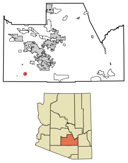 Location of Tat Momoli in Pinal County, Arizona. | |
| Country | United States |
| State | Arizona |
| County | Pinal |
| Area | |
| • Total | 0.93 sq mi (2.41 km2) |
| • Land | 0.93 sq mi (2.41 km2) |
| • Water | 0.00 sq mi (0.00 km2) |
| Population (2020) | |
| • Total | 18 |
| • Density | 19.38/sq mi (7.48/km2) |
| Time zone | UTC-7 (MST (no DST)) |
| FIPS code | 04-72280 |
Tat Momoli (O'odham: Taḍ Memelkuḍ) is a census-designated place located in Pinal County, Arizona, United States, on the Tohono Oʼodham Indian Reservation. As of the Census of 2010 it had a population of 10 with a population density of 4.16 people per km2.[2]
Geography[]
Tat Momoli is located at 32°36′4″N 111°53′10″W / 32.60111°N 111.88611°W. According to the United States Census Bureau, Tat Momoli has a total area of 2.41 km2, all land.[3]
 WikiMiniAtlas
Demographics[]
| Historical population | |||
|---|---|---|---|
| Census | Pop. | %± | |
| 2020 | 18 | — | |
| U.S. Decennial Census[4] | |||
According to the Census of 2010,[5] there were 10 people living in Tat Momoli. The population density was 4.16 people/km2. Of the 10 residents, Tat Momoli was composed of 10% whites, 60% American Indians or Alaska Natives, and 30% were some other race. Out of the total population 30% were Hispanic or Latino of any race.[6]
References[]
- ^ "2020 U.S. Gazetteer Files". United States Census Bureau. Retrieved October 29, 2021.
- ^ "US Gazetteer files: 2010, 2000, and 1990". United States Census Bureau. 2011-02-12. Retrieved 2011-04-23.
- ^ "Find a County". National Association of Counties. Retrieved 2011-06-07.
- ^ "Census of Population and Housing". Census.gov. Retrieved June 4, 2016.
- ^ "U.S. Census website". United States Census Bureau. Retrieved 2008-01-31.
- ^ "US Board on Geographic Names". United States Geological Survey. 2007-10-25. Retrieved 2008-01-31.

- Census-designated places in Pinal County, Arizona
- Tohono O'odham Nation