Taurion
| Taurion | |
|---|---|
 | |
 | |
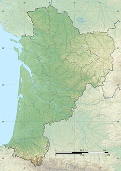
| Location | |
| Country | France |
| Physical characteristics | |
| Source | |
| • location | Limousin |
| • elevation | 785 m (2,575 ft) |
| Mouth | |
• location | Vienne |
• coordinates | 45°53′3″N 1°23′40″E / 45.88417°N 1.39444°ECoordinates: 45°53′3″N 1°23′40″E / 45.88417°N 1.39444°E |
• elevation | 232 m (761 ft) |
| Length | 107.5 km (66.8 mi) |
| Basin size | 1,030 km2 (400 sq mi) |
| Discharge | |
| • average | 18.9 m3/s (670 cu ft/s) at Saint-Priest-Taurion |
| Basin features | |
| Progression | Vienne→ Loire→ Atlantic Ocean |

The Taurion (French pronunciation: [toʁjɔ̃]; Occitan: Taurion), as it is known in Haute-Vienne, or Thaurion, as it is known in Creuse, is a 107.5 km long river in western France, tributary of the Vienne river.[1]
Its source is at an altitude of 785 m on the Plateau de Millevaches, on the flanks of the , near in the commune of Gentioux-Pigerolles, in the Creuse département.
It passes under the bridge of , feeds the , before crossing the . It flows into the Vienne on the right bank at Saint-Priest-Taurion, at 232 m elevation. Hydro-electric dams are built along the river, (La Roche Talamy, l'Étroit, Saint-Marc, Chauvan).
The Taurion flows through the following départements and towns:
- Creuse: Gentioux-Pigerolles, Saint-Hilaire-le-Château, Pontarion, Bourganeuf
- Haute-Vienne: Saint-Priest-Taurion
References[]
| Wikimedia Commons has media related to Taurion. |
This Nouvelle-Aquitaine geographical article is a stub. You can help Wikipedia by . |
- Tributaries of the Vienne
- Rivers of France
- Rivers of Nouvelle-Aquitaine
- Rivers of Creuse
- Rivers of Haute-Vienne
- Nouvelle-Aquitaine geography stubs
- France river stubs