Vuolep Sårjåsjávrre
From Wikipedia, the free encyclopedia
| Vuolep Sårjåsjávrre | |
|---|---|
 Vuolep Sårjåsjávrre  Vuolep Sårjåsjávrre 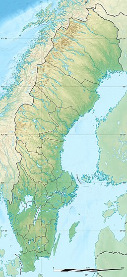 Vuolep Sårjåsjávrre | |
| Location | Fauske, Nordland and Jokkmokk, Norrbotten |
| Coordinates |  67°13′25″N 16°21′37″E / 67.2236°N 16.3602°E / 67.2236; 16.3602Coordinates: 67°13′25″N 16°21′37″E / 67.2236°N 16.3602°E / 67.2236; 16.3602 67°13′25″N 16°21′37″E / 67.2236°N 16.3602°E / 67.2236; 16.3602Coordinates: 67°13′25″N 16°21′37″E / 67.2236°N 16.3602°E / 67.2236; 16.3602 |
| Basin countries | Sweden and Norway |
| Max. length | 6 kilometres (3.7 mi) |
| Max. width | 2 kilometres (1.2 mi) |
| Surface area | 7.17 km2 (2.77 sq mi) |
| Shore length1 | 28.52 kilometres (17.72 mi) |
| Surface elevation | 820 metres (2,690 ft) |
| References | NVE |
| 1 Shore length is not a well-defined measure. | |
Vuolep Sårjåsjávrre (English: Lower Lake Sårjås) is a lake which lies on the border between Norway and Sweden. The western part lies in Fauske Municipality in Nordland county, Norway, and the eastern part lies in Jokkmokk Municipality in Norrbotten County, Sweden. The 7.17-square-kilometre (2.77 sq mi) lake lies just to the east of the large Blåmannsisen glacier[1] and smaller neighboring lake Bajep Sårjåsjávrre (Upper Lake Sårjås).
See also[]
- List of lakes in Norway
References[]
- ^ "Vuolep Sårjåsjávrre" (in Norwegian). yr.no. Retrieved 2012-04-02.
This Nordland location article is a stub. You can help Wikipedia by . |
- v
- t
Retrieved from ""
Categories:
- Lakes of Nordland
- Norway–Sweden border
- Fauske
- International lakes of Europe
- Lakes of Norrbotten County
- Nordland geography stubs
Hidden categories:
- CS1 Norwegian-language sources (no)
- Coordinates on Wikidata
- Articles using infobox body of water without image
- Articles using infobox body of water without image bathymetry
- Articles containing explicitly cited English-language text
- AC with 0 elements
- All stub articles