The 1954 Pacific typhoon season has no official bounds; it ran year-round in 1954, but most tropical cyclones tend to form in the northwestern Pacific Ocean between June and December. These dates conventionally delimit the period of each year when most tropical cyclones form in the northwestern Pacific Ocean.
The scope of this article is limited to the Pacific Ocean, north of the equator and west of the international date line. Storms that form east of the date line and north of the equator are called hurricanes; see 1954 Pacific hurricane season. Tropical Storms formed in the entire west Pacific basin were assigned a name by the Fleet Weather Center on Guam.
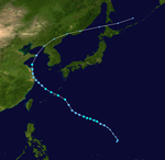
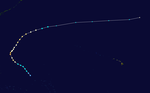
Typhoon Marie had a minimum pressure of 956 mb and a maximum windspeeds of 85 mph. Marie crossed the southern islands of Kyūshū and Shikoku before turning northeast and striking Hokkaidō island. Marie caused the ship Toya Maru to sink in the Tsugaru Strait. 1,361 people were killed and 400 were left missing.[4] Due to this disaster, the typhoon is known in Japan as the Toya Maru Typhoon.[5]
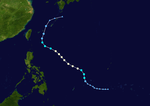
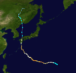
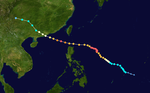
On October 27, Typhoon Pamela formed as a tropical depression. Pamela reached a peak of 900 mbar and 175 mph on November 1 and reached a secondary peak of 935 mbars on November 5.
Pamela was one of three storms that reached Category 5 super typhoon status in the South China Sea, with others being Typhoon Rammasun of 2014 and Typhoon Rai of 2021.
Gusts at landfall just to the west of Macau reached 175 km/h in Waglan Island and 155 km/h in Hong Kong Observatory which were the strongest since November 10, 1900 when the mean hourly wind speed reached 113 km/h (71 mph or 61 kts) at the Royal Observatory in Tsim Sha Tsui, in par with Typhoon Gloria.