Callawadda
| Callawadda Victoria | |
|---|---|
 Memorial hall at Callawadda, built in 1957 | |
 Callawadda | |
| Coordinates | 36°48′47″S 142°47′10″E / 36.81306°S 142.78611°ECoordinates: 36°48′47″S 142°47′10″E / 36.81306°S 142.78611°E |
| Population | 43 (2016 census)[1] |
| Established | June 19, 1865[2] |
| Postcode(s) | 3387 |
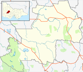
| Location | |
| LGA(s) | Shire of Northern Grampians |
| State electorate(s) | Ripon |
| Federal division(s) | Mallee |

Callawadda is a locality in the Wimmera region of western Victoria, Australia. The locality is in the Shire of Northern Grampians, 262 kilometres (163 mi) west of the state capital, Melbourne.
At the 2016 census, Callawadda had a population of 43.[1]
References[]
- ^ a b Australian Bureau of Statistics (27 June 2017). "Callawadda". 2016 Census QuickStats. Retrieved 23 July 2017.

- ^ "THE LAND SELECTIONS". Bendigo Advertiser. Vol. XII, no. 3144. Victoria, Australia. 23 June 1865. p. 2 (Supplement to The Bendigo Advertiser). Retrieved 5 August 2017 – via National Library of Australia., ...STAWELL, June 19.-The area of Callawadda was opened to-day...
External links[]
![]() Media related to Callawadda at Wikimedia Commons
Media related to Callawadda at Wikimedia Commons
This article about a location in Grampians (region) is a stub. You can help Wikipedia by . |
Categories:
- Towns in Victoria (Australia)
- Wimmera
- Grampians (region) geography stubs