Marnoo, Victoria
| Marnoo Victoria | |
|---|---|
 Entering Marnoo | |
 Marnoo | |
| Coordinates | 36°39′0″S 142°53′0″E / 36.65000°S 142.88333°ECoordinates: 36°39′0″S 142°53′0″E / 36.65000°S 142.88333°E |
| Population | 122 (2016 census)[1] |
| Postcode(s) | 3387 |
| Location | |
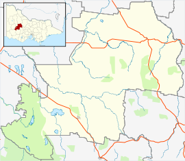
| LGA(s) | Shire of Northern Grampians |
| State electorate(s) | Ripon |
| Federal division(s) | Mallee |

Marnoo is a town in the Wimmera region of Victoria, Australia. Its postal code is 3387. At the 2016 census, Marnoo and the surrounding area had a population of 122.[1]
References[]
| Wikimedia Commons has media related to Marnoo. |
- ^ a b "2016 Census QuickStats Marnoo". Australian Bureau of Statistics. Retrieved 7 September 2018.
This article about a location in Victoria, Australia is a stub. You can help Wikipedia by . |
Categories:
- Towns in Victoria (Australia)
- Victoria (Australia) geography stubs