Cowansville, Pennsylvania
Cowansville, Pennsylvania | |
|---|---|
Unincorporated community | |
 Union First Presbyterian Church | |
 Cowansville | |
| Coordinates: 40°53′16″N 79°35′18″W / 40.88778°N 79.58833°WCoordinates: 40°53′16″N 79°35′18″W / 40.88778°N 79.58833°W | |
| Country | United States |
| State | Pennsylvania |
| County | Armstrong |
| Township | East Franklin |
| Elevation | 1,362 ft (415 m) |
| Time zone | UTC-5 (Eastern (EST)) |
| • Summer (DST) | UTC-4 (EDT) |
| ZIP code | 16218 |
| Area code(s) | 724 |
| GNIS feature ID | 1213572[1] |

Cowansville is an unincorporated community in Armstrong County, Pennsylvania, United States.[1] The community is located on Pennsylvania Route 268, at 6 miles (9.7 km) northwest of Kittanning. Cowansville has a post office with ZIP code 16218, which opened on August 8, 1849.[2][3]
History[]
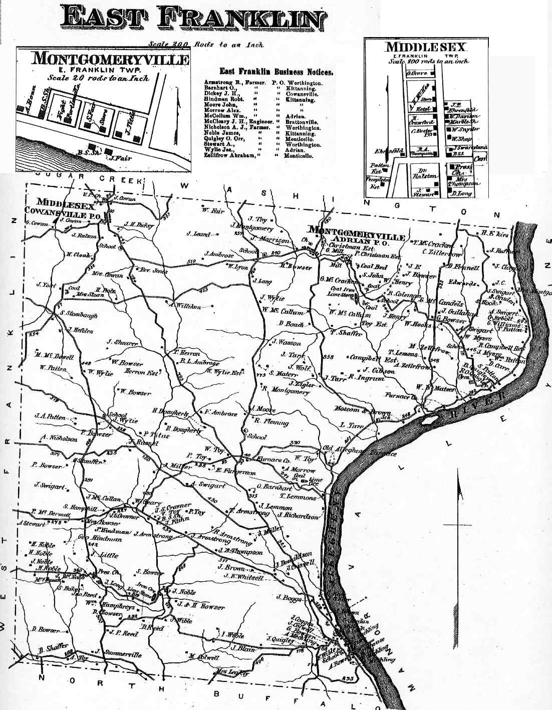
Middlesex, Cowansville P.O., appears in the 1876 Atlas of Armstrong County, Pennsylvania.[4]
Notes[]
- ^ a b "Cowansville". Geographic Names Information System. United States Geological Survey.
- ^ United States Postal Service. "USPS - Look Up a ZIP Code". Retrieved December 20, 2014.
- ^ "Postmaster Finder - Post Offices by ZIP Code". United States Postal Service. Retrieved December 20, 2014.
- ^ "Atlas of Armstrong County Pennsylvania, page 35". Pomeroy, Whitman & Co. 1876. Retrieved 9 November 2018.
Municipalities and communities of Armstrong County, Pennsylvania, United States | ||
|---|---|---|
| City |  | |
| Boroughs | ||
| Townships | ||
| CDPs | ||
| Unincorporated communities |
| |
| ||
Categories:
- Unincorporated communities in Armstrong County, Pennsylvania
- Unincorporated communities in Pennsylvania
- 1849 establishments in Pennsylvania