Plumcreek Township, Armstrong County, Pennsylvania
Plumcreek Township, Pennsylvania | |
|---|---|
 Plumcreek Township Municipal Building | |
 Map of Armstrong County, Pennsylvania highlighting Plumcreek Township | |
 Map of Armstrong County, Pennsylvania | |
| Country | United States |
| State | Pennsylvania |
| County | Armstrong |
| Settled | 1788 |
| Incorporated | 1809 |
| Area | |
| • Total | 43.05 sq mi (111.49 km2) |
| • Land | 42.38 sq mi (109.76 km2) |
| • Water | 0.67 sq mi (1.73 km2) |
| Population (2010) | |
| • Total | 2,375 |
| • Estimate (2016)[2] | 2,268 |
| • Density | 53.52/sq mi (20.66/km2) |
| Time zone | UTC-5 (Eastern (EST)) |
| • Summer (DST) | UTC-4 (EDT) |
| FIPS code | 42-005-61576 |
Plumcreek Township is a township in Armstrong County, Pennsylvania, United States. The population was 2,375 at the 2010 census.[3]
Geography[]
Plumcreek Township is located in southeastern Armstrong County, named for Plum Creek, a tributary of Crooked Creek and part of the Allegheny River watershed. The township surrounds the borough of Elderton.
According to the United States Census Bureau, the township has a total area of 43.1 square miles (111.5 km2), of which 42.4 square miles (109.8 km2) is land and 0.66 square miles (1.7 km2), or 1.55%, is water.[3]
Demographics[]
| Historical population | |||
|---|---|---|---|
| Census | Pop. | %± | |
| 2010 | 2,375 | — | |
| 2016 (est.) | 2,268 | [2] | −4.5% |
| U.S. Decennial Census[4] | |||
As of the census[5] of 2000, there were 2,304 people, 877 households, and 678 families residing in the township. The population density was 54.5 people per square mile (21.0/km2). There were 935 housing units at an average density of 22.1/sq mi (8.5/km2). The racial makeup of the township was 99.44% White, 0.09% African American, 0.09% Native American, 0.13% from other races, and 0.26% from two or more races. Hispanic or Latino of any race were 0.22% of the population.
There were 877 households, out of which 30.6% had children under the age of 18 living with them, 66.8% were married couples living together, 6.7% had a female householder with no husband present, and 22.6% were non-families. 18.8% of all households were made up of individuals, and 7.9% had someone living alone who was 65 years of age or older. The average household size was 2.53 and the average family size was 2.88.
The township median age of 41 years was slightly more than the county median age of 40 years. The distribution by age group was 22.0% under the age of 18, 6.2% from 18 to 24, 28.3% from 25 to 44, 27.4% from 45 to 64, and 16.1% who were 65 years of age or older. The median age was 41 years. For every 100 females, there were 102.1 males. For every 100 females age 18 and over, there were 100.4 males.
The median income for a household in the township was $34,744, and the median income for a family was $39,559. Males had a median income of $28,802 versus $19,095 for females. The per capita income for the township was $14,624. About 8.2% of families and 11.9% of the population were below the poverty line, including 17.6% of those under age 18 and 14.0% of those age 65 or over.
History[]
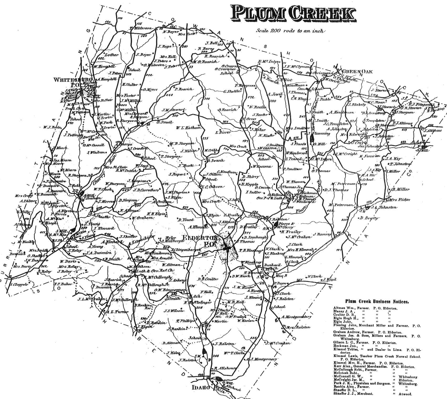
Plum Creek Township appears in the 1876 Atlas of Armstrong County, Pennsylvania.[6] Its early history is detailed in Robert Walter Smith's 1883 History of Armstrong County.[7]
Cemeteries[]
- Gastown Cemetery[8]
- Mount Union Lutheran Church Cemetery[9]
- Rowley Cemetery[10]
- Whitesburg Presbyterian Cemetery[11]
- Whitesburg United Methodist Church Cemetery[12]
References[]
- ^ "2016 U.S. Gazetteer Files". United States Census Bureau. Retrieved Aug 13, 2017.
- ^ a b "Population and Housing Unit Estimates". Retrieved June 9, 2017.
- ^ a b "Geographic Identifiers: 2010 Demographic Profile Data (G001): Plumcreek township, Armstrong County, Pennsylvania". U.S. Census Bureau, American Factfinder. Archived from the original on February 10, 2020. Retrieved August 1, 2013.
- ^ "Census of Population and Housing". Census.gov. Retrieved June 4, 2016.
- ^ "U.S. Census website". United States Census Bureau. Retrieved 2008-01-31.
- ^ "Atlas of Armstrong County Pennsylvania, page 60". Pomeroy, Whitman & Co. 1876. Retrieved 9 November 2018.
- ^ Robert Walter Smith (1883). "History of Armstrong County Pennsylvania, Chapter 8, page 201". Chicago: Waterman, Watkins. Retrieved 7 November 2018.
- ^ "Gastown Cemetery". Geographic Names Information System. United States Geological Survey.
- ^ "Mount Union Lutheran Church Cemetery". Geographic Names Information System. United States Geological Survey.
- ^ "Rowley Cemetery". Geographic Names Information System. United States Geological Survey.
- ^ "Whitesburg Presbyterian Cemetery". Geographic Names Information System. United States Geological Survey.
- ^ "Whitesburg United Methodist Church Cemetery". Geographic Names Information System. United States Geological Survey.
Municipalities and communities of Armstrong County, Pennsylvania, United States | ||
|---|---|---|
| City |  | |
| Boroughs | ||
| Townships | ||
| CDPs | ||
| Unincorporated communities |
| |
| ||
| Counties |  Map of the Pittsburgh Tri-State with green counties in the metropolitan area and yellow counties in the combined area | |
|---|---|---|
| Major cities | ||
| Cities and towns 15k–50k (in 2010) | ||
| Airports | ||
| Topics | ||
| ||
Coordinates: 40°42′39″N 79°21′04″W / 40.71083°N 79.35111°W

- Populated places established in 1788
- Pittsburgh metropolitan area
- Townships in Armstrong County, Pennsylvania
- Townships in Pennsylvania
- 1788 establishments in Pennsylvania