Denver Harbor, Houston
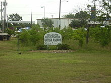
Denver Harbor is a historic community located in eastern Houston, Texas, United States near the Houston Ship Channel. The community, bounded by Wallisville Road, the Union Pacific Railroad, and the Port Terminal Railroad Association, was first settled in the 1890s and platted in 1911 and 1913.[1] The community includes many historic bungalow and cottage homes.[2]
Denver Harbor is a mostly Hispanic community.[3]
History[]
Denver Harbor was first settled in the 1890s and platted in 1911 and 1913. The four original subdivisions were: Denver, Harbor, Harbordale, and Liberty Heights.[1] The names "Denver" and "Harbor" merged and became the name "Denver Harbor," which describes the entire community.[4] Many early residents of Denver Harbor were Texans who left farms for the city neighborhood to make a better life for themselves and their families. These residents found work on the railroads and industrial companies that were established along the Houston Ship Channel.[1] Greeks, Italians, and Poles settled Denver Harbor.[5] The City of Houston annexed the Denver Harbor and Houston Harbor communities in 1929, adding 885 acres (358 ha) of land to the city limits.[6]
On June 1, 1939, the word "Podunk" was mysteriously written on the side of the local water tower. The city tried repeatedly to cover over the word, however the name would always reappear within days.[1] Inspired by the defiance of the sign's unknown painter, area residents soon began to identify as Podunkers. The names was adopted by a local youth basketball team known as the Podunk Skunks.[1] The names, used in the 1930s and 1940s, was in reference to how Denver Harbor was considered to be "out-of-the-way." The slang became known after area children painted the word on a water tower.[7] Jay Grady, an area resident, stated in a 2007 Houston Chronicle article that residents felt proud of the nickname since back then Denver Harbor was barely in the eastern city limits of Houston and that "it was kind of like living in the country rather than being in the city." Grady added that the community was "always been kind of a stepchild to the city of Houston, kind of a hardscrabble community, mostly blue-collar workers on the eastern edge of the city limits. We felt like we lived in the country rather than in town."[4] As the population transitioned from working-class White Americans to Hispanic Americans the nickname was no longer used.[7]
Dr. Jay Grady self-published 2,000 copies of his book Where the Hell is Podunk, Texas?, which is about Denver Harbor. In addition he lobbied to have Denver Harbor declared as the "official mythical town of Texas" due to the "Podunk" nickname. A Texas House of Representatives resolution that would have declared this was passed by the House and then rejected by most of the members of the Texas Senate, including Mario Gallegos, a Texas senator whose district includes Denver Harbor.[7] In August 2007 Tropical Storm Erin flooded streets and houses in Denver Harbor.[8] By 2008 residents from the area vocally opposed a perceived increase in crime.[9]
Government and infrastructure[]

The city operates the Denver Harbor Multi-Service Center at 6402 Market Street.[10] The city multi-service centers provide several services such as child care, programs for elderly residents, and rental space.[11]

It is a part of Houston City Council District H.[12] The City of Houston operates Fire Station 27. As World War II began, the city government was working on plans for Station 27. It opened at the intersection of Kress Street and Lyons Avenue in 1941. In November 2002 the groundbreaking for the current Station 27, larger than the previous one, occurred. A Community Development Block Grant funded the new station. It opened at its current location, 6515 Lyons Avenue, in May 2004.[13]
The United States Postal Service operates the Denver Harbor Post Office at 5901 Market Street.[14] In July 2011 the USPS announced that the post office may close.[15] Some area residents criticized the proposed closure.[16]
Parks and recreation[]
The City of Houston operates the Selena Quintanilla Perez Park-Denver Harbor, named after Selena Quintanilla-Pérez, at 6402 Market Street.[17] The park has a 0.87 mile hiking and bicycle trail, a volleyball court, a swimming pool, a playground, and a lighted sports field. The city operates the Selena Quintanilla Perez Community Center, which has a weight room, and indoor gymnasium, and meeting rooms, at the same address.[18] Cliff Tuttle Park is located at 6200 Lyons Avenue.[19] Santos & Esther Nieto Park is located at 500 Port Street.[20]
Culture[]
The north-south Union Pacific Railroad railroad tracks separate Denver Harbor from the Fifth Ward. David Benson, an assistant to former Harris County Commissioner El Franco Lee, described the railroad line as "a semi-permeable membrane." In the 1990s many Fifth Ward African-Americans went into Denver Harbor to shop at the area supermarket and stores, while the Denver Harbor Hispanics rarely entered the Fifth Ward.[5]
Education[]
Primary and secondary schools[]

Residents attend the Houston Independent School District. Denver Harbor is in Trustee District VIII, represented by Diana Dávila as of 2009.[21]
Zoned elementary schools serving sections of the neighborhood include Eliot Elementary School,[22] Raul C. Martínez Elementary School,[23][24] Pugh Elementary School,[25] and Scroggins Elementary School.[1][26] All areas in Denver Harbor are zoned to McReynolds Middle School and Wheatley High School.[1][27][28]
Eliot opened in 1926. Pugh received its name in 1952. McReynolds opened in 1957. Scroggins opened in 1968.[29] Wheatley High School, in the Fifth Ward, was desegregated, Houston ISD rezoned Denver Harbor, which at that time had many White residents and was becoming Hispanic, to Wheatley. Many area Hispanic students preferred to attend Austin High School and Furr High School as they became the majority population at those schools. Even though Denver Harbor and the Fifth Ward are zoned to Wheatley, the areas are represented by different board members.[5] Martínez opened in 1994.[29]
The Roman Catholic Archdiocese of Galveston-Houston operates Resurrection School, a 3K-8 coeducational Roman Catholic school, at 916 Majestic Street.[30] In summer 1937 its first building was built.[31] From the 2011-2012 to 2012-2013 school years enrollment was projected to increase by 55%.[32]
Community college[]
Residents are within the Houston Community College System boundaries.[33]
Public libraries[]

The Houston Public Library operates the Cliff Tuttle Neighborhood Library at 702 Kress Street.[34]
Notable residents[]
- Ben Reyes (former politician and felon)[35]
- Dennis Tuttle, victim in the Pecan Park raid[36]
See also[]
- List of Houston neighborhoods
References[]
- ^ Jump up to: a b c d e f g "80(R) HCR 81 - Introduced version - Bill Text". capitol.state.tx.us. Retrieved 2009-04-05.
- ^ "Denver Harbor." Houston Hope Homes. Retrieved on May 2, 2009.
- ^ "[1]." Denver Harbor/Port Houston Super Neighborhood Community Health Assessment Report. City of Houston Department of Health and Human Services, Office of Surveillance and Public Health Preparedness.
- ^ Jump up to: a b Babineck, Mark, Alysha N. Hernandez, and the Austin Bureau. "A Houstonian has persuaded the state House to make his boyhood neighborhood an `official mythical town' / Podunk, Texas - not far away, really." Houston Chronicle. Thursday May 10, 2007. B1 MetFront. Retrieved on April 4, 2009.
- ^ Jump up to: a b c Berryhill, Michael. "What's Wrong With Wheatley?." Houston Press. April 17, 1997. 3. Retrieved on March 31, 2009.
- ^ Lee, Renée C. "Annexed Kingwood split on effects." Houston Chronicle. Sunday October 8, 2006. A21. Retrieved on July 6, 2011. Print version exclusively has the information cited; the information is not included in the online edition.
- ^ Jump up to: a b c Babineck, Mark. '"Podunk" loses shot at mythic status.' Houston Chronicle. June 9, 2007. Retrieved on March 31, 2009.
- ^ Woodard, Brad. "Denver Harbor homes take on water." KHOU-TV. Thursday August 16, 2006. Retrieved on April 4, 2009.
- ^ Cerota, Andy. "Residents fighting crime with help." KTRK-TV. April 17, 2008. Retrieved on January 22, 2010.
- ^ "Denver Harbor Multi-Service Center." City of Houston. Accessed October 27, 2008.
- ^ "Multi-Service Centers." City of Houston. Accessed October 27, 2008.
- ^ City of Houston, Council District Maps, District H Archived 2012-06-26 at the Wayback Machine." City of Houston. Retrieved on November 5, 2011.
- ^ "HFD Fire Station No. 27." City of Houston. Retrieved on September 1, 2012.
- ^ "Post Office Location - DENVER HARBOR." United States Postal Service. Retrieved on December 4, 2008.
- ^ Weisman, Laura. "Nine Houston post offices marked for closure (with poll)." Houston Chronicle. July 26, 2011. Retrieved on July 26, 2011.
- ^ Horswell, Cindy and Megan Ryan. "South Texas post office closures 'heart breaking' for many." Houston Chronicle. July 26, 2011. Retrieved on July 27, 2011.
- ^ "Our Parks O-Z Archived December 27, 2008, at the Wayback Machine." City of Houston. Retrieved on January 3, 2009.
- ^ "Selena Quintanilla Perez Community Center." City of Houston. Retrieved on January 3, 2009.
- ^ "Our Parks A-F Archived June 20, 2010, at the Wayback Machine." City of Houston. Retrieved on April 24, 2009.
- ^ "Our Parks O-Z Archived December 27, 2008, at the Wayback Machine." City of Houston. Retrieved on April 24, 2009.
- ^ "Trustee Districts Map Archived July 11, 2012, at the Wayback Machine." Houston Independent School District. Retrieved on November 11, 2008.
- ^ "Eliot Elementary Attendance Zone Archived 2007-09-30 at the Wayback Machine." Houston Independent School District. Retrieved on April 4, 2009.
- ^ "welcome... Archived 2009-08-09 at the Wayback Machine" Raul C. Martinez Elementary School. Retrieved on April 4, 2009.
- ^ "R. Martinez Elementary Attendance Zone Archived 2011-08-14 at the Wayback Machine." Houston Independent School District. Retrieved on April 4, 2009.
- ^ "Pugh Elementary Attendance Zone Archived 2007-09-30 at the Wayback Machine." Houston Independent School District. Retrieved on April 4, 2009.
- ^ "Scroggins Elementary Attendance Zone Archived 2007-09-30 at the Wayback Machine." Houston Independent School District. Retrieved on April 4, 2009.
- ^ "McReynolds Middle Attendance Zone Archived 2007-09-30 at the Wayback Machine." Houston Independent School District. Retrieved on April 4, 2009.
- ^ "Wheatley High School Attendance Zone Archived 2007-09-30 at the Wayback Machine." Houston Independent School District. Retrieved on April 4, 2009.
- ^ Jump up to: a b "School Histories: the Stories Behind the Names Archived July 10, 2011, at the Wayback Machine." Houston Independent School District. Retrieved on September 24, 2008.
- ^ "Resurrection School Archived 2016-03-04 at the Wayback Machine." Roman Catholic Archdiocese of Galveston-Houston. Retrieved on September 8, 2012.
- ^ "About". Resurrection School. Retrieved 2020-06-06.
Resurrection Catholic School is located in Denver Harbor[...]
- ^ Rhor, Monica (2012-08-15). "Houston Catholic school enrollment strong and growing". Houston Chronicle. Retrieved 2020-06-06.
215 students - an increase of about 7 percent from last year.[...]Just 10 years ago, the school had 137 students;[...]
- The source states Resurrection School is in the East End, but it is in Denver Harbor, which is not in the East End district. - ^ Texas Education Code, Section 130.182, "Houston Community College System District Service Area".
- ^ "Tuttle Neighborhood Library Archived 2009-04-29 at the Wayback Machine." Houston Public Library. Retrieved on April 4, 2009.
- ^ Rodriguez, Lori. "Ben Reyes: His old friends hardly know him anymore." Houston Chronicle. June 2, 1991. A1.
- ^ Blakinger, Keri; St. John Barned-Smith (2019-04-16). "Grieving family members tour Pecan Park home as questions swirl about botched drug raid". Houston Chronicle. Retrieved 2019-04-17.
Further reading[]
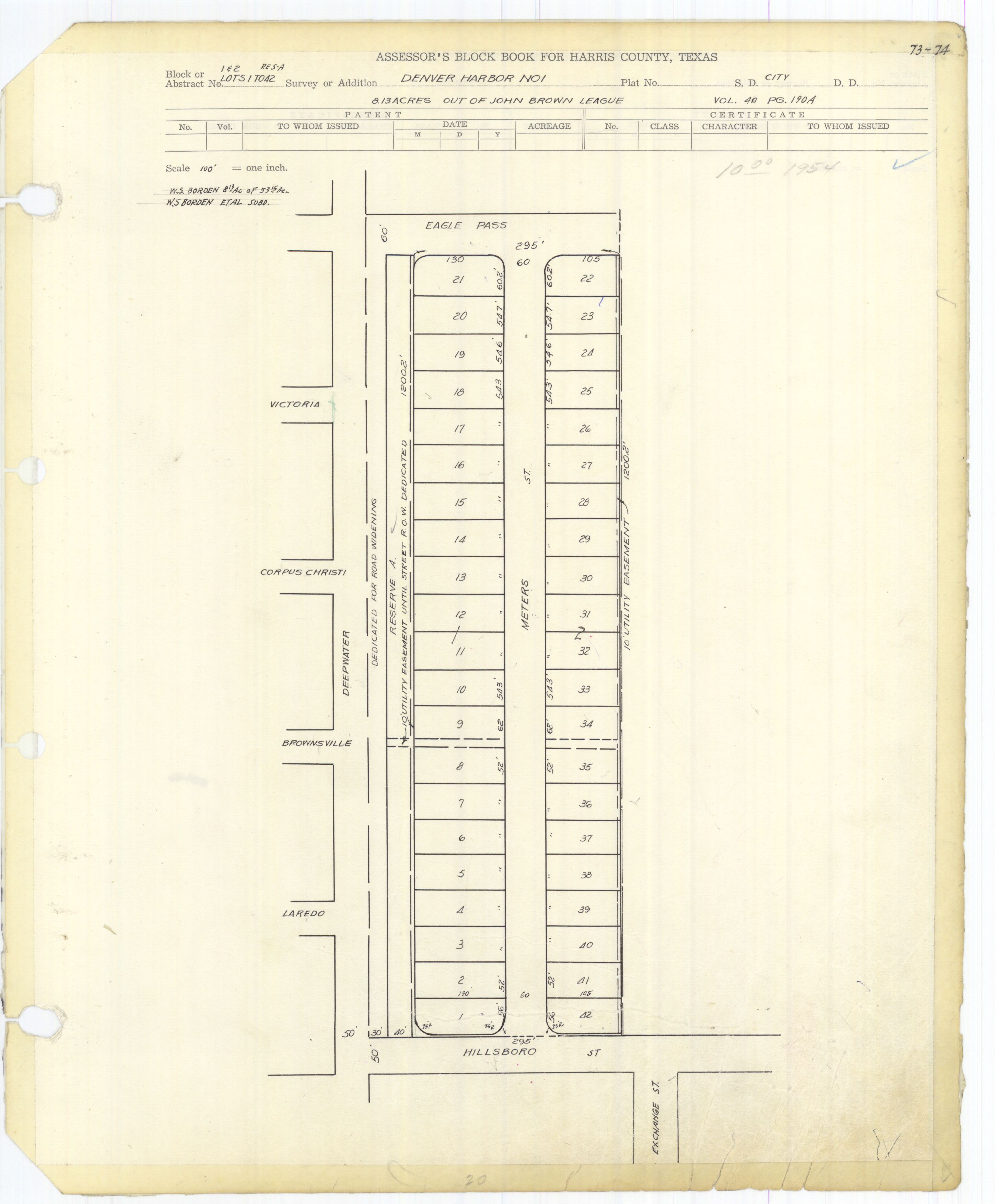
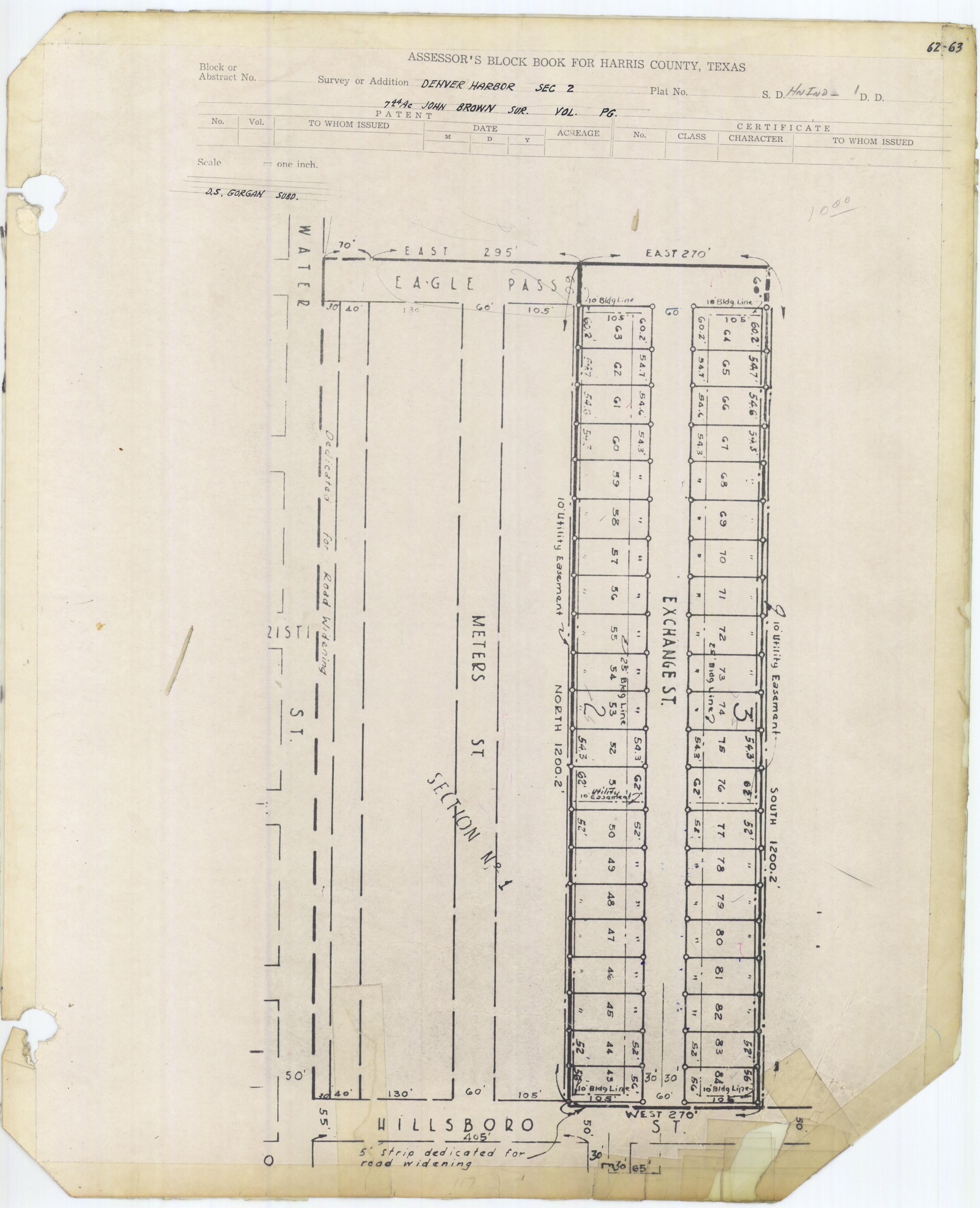
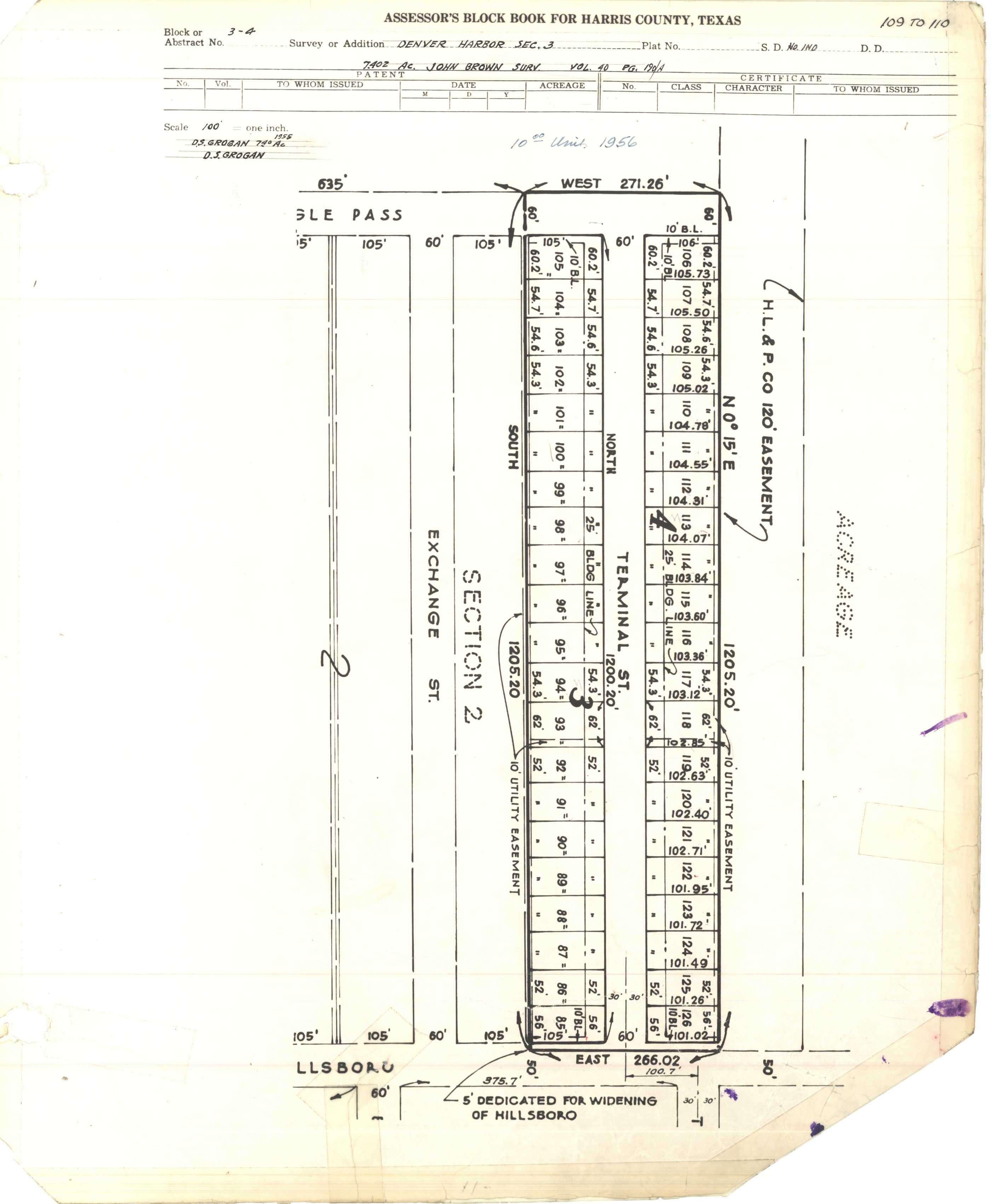
- Harris County Block Books, - Denver Harbor Sections 1 (PDF and JPG), 2 (PDF and JPG), and 3 (PDF and JPG)
External links[]
- Denver Harbor Civic Club
- "The Denver Harbor Collaborative." St. Luke's Episcopal Health Charities.
- Where the Hell is Podunk, Texas?
Coordinates: 29°46′30″N 95°18′00″W / 29.775°N 95.300°W

- Neighborhoods in Houston