Walnut Bend, Houston


Walnut Bend is a subdivision in Houston, Texas, United States.
Walnut Bend is located north of Westheimer Road (Farm to Market Road 1093) and outside Beltway 8. It is near Westchase.
Ten sections opened in the late 1950s. The typical residence ranges from 2,000 square feet (190 m2) to 2,800 square feet (260 m2).[1]
History[]
After Hurricane Katrina struck New Orleans in 2005, many refugees from the hurricane settled in apartment complexes in close proximity to Walnut Bend. Friction appeared between Walnut Bend homeowners and Katrina refugees.[2]
Government and infrastructure[]
Walnut Bend is a part of Houston City Council District G.[3]
Education[]


Walnut Bend residents are zoned to Houston Independent School District schools. The community is within Trustee District VI, represented by Greg Meyers as of 2008.[4]
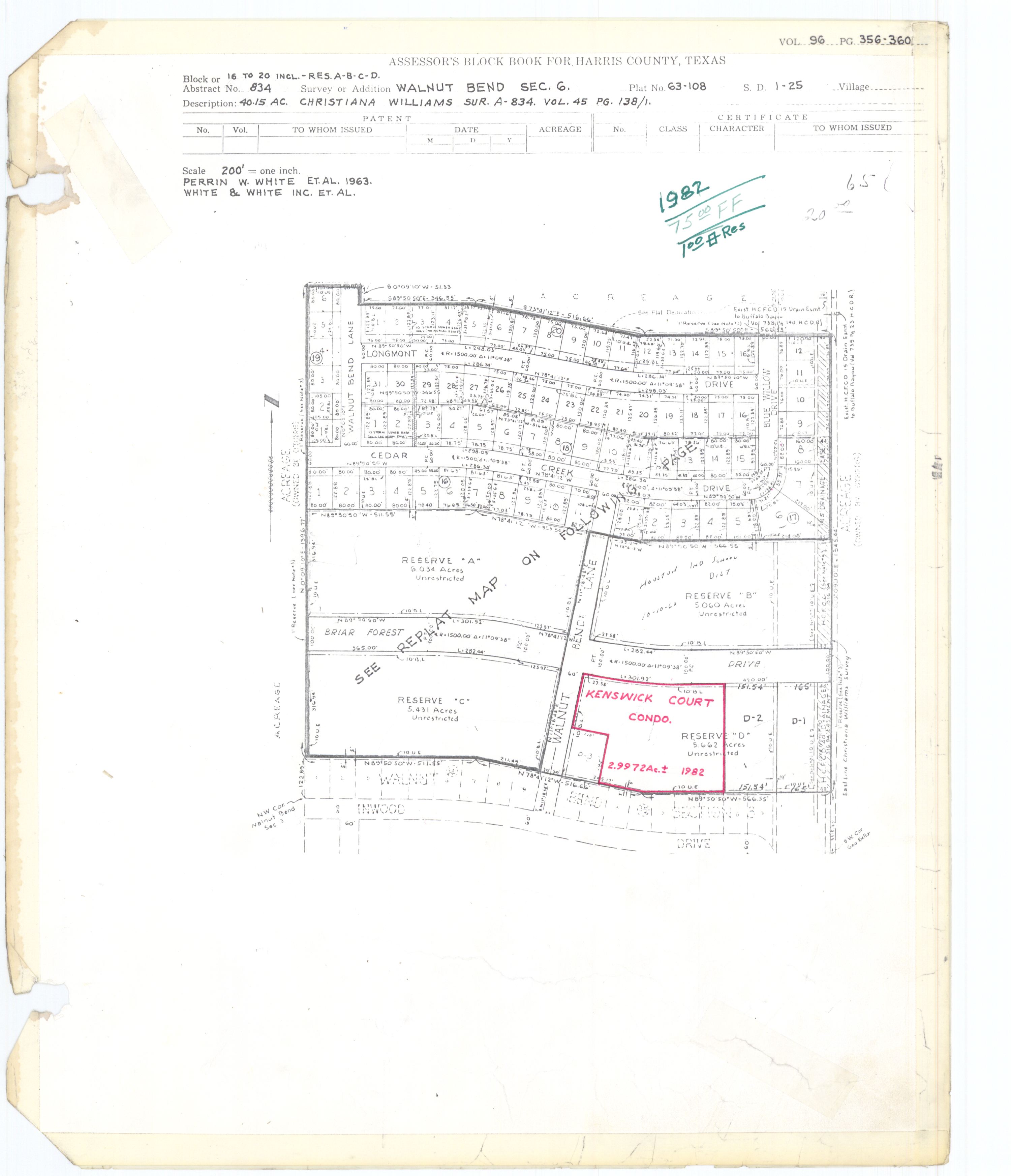
Schools serving Walnut Bend include Walnut Bend Elementary School,[5] located in Walnut Bend section six;[6] Revere Middle School;[7] (with West Briar Middle School as an option[8]), and Westside High School.[9] Residents zoned to Westside may transfer to Lamar High School.[10]
Walnut Bend Elementary first opened in 1964 with a capacity of 350 students.[11] It received a new campus building in 2007.[12] Its current two-story $14 million campus was designed by VLK Architects and constructed by Heery International.[11]
Revere opened in 1980 and Westside opened in 2000.[12] Prior to the opening of Westside, Walnut Bend was zoned to Lee High School (now Wisdom High School).[13] Prior to the opening of Revere Middle School, Walnut Bend was zoned to TH Rogers Junior High.[citation needed]
Residents zoned to Ashford, Askew, Bush, Daily, Emerson, and Walnut Bend may attend Shadowbriar Elementary School's magnet program.[14]
See also[]
References[]
- ^ Feser, Katherine. "Westchase's pep gives big boost to Walnut Bend." Houston Chronicle. Sunday January 11, 2004. Retrieved on July 21, 2017.
- ^ O'Hare, Peggy. "Which came first — the evacuees or the crime?." Houston Chronicle. October 22, 2006.
- ^ City of Houston, Council District Maps, District G." City of Houston. Retrieved on November 5, 2011.
- ^ "Trustee Districts Map." Houston Independent School District. Retrieved on November 11, 2008.
- ^ "Walnut Bend Elementary Attendance Zone." Houston Independent School District. Retrieved on February 5, 2009.
- ^ "AE1997_96_0176.jpg." Harris County. Retrieved on July 22, 2017.
- ^ "Revere Middle Attendance Zone." Houston Independent School District. Retrieved on February 5, 2009.
- ^ "School Profile & Leadership." Revere Middle School. Retrieved on July 6, 2017. "Students zoned to this campus are eligible to apply for a Boundary Option Transfer to West Briar Middle School"
- ^ "Westside High School Attendance Zone." Houston Independent School District. Retrieved on February 5, 2009.
- ^ "Westside High School." Houston Independent School District. Retrieved on July 6, 2017. "Students zoned to this campus are eligible to apply for a Boundary Option Transfer to Lamar High School"
- ^ Jump up to: a b Baird, Annette (2005-08-04). "School year brings changes". Houston Chronicle. Retrieved 2018-05-19.
- ^ Jump up to: a b "School Histories: the Stories Behind the Names." Houston Independent School District. Accessed September 24, 2008.
- ^ "High Schools." Houston Independent School District. April 13, 2002. Retrieved on May 6, 2009.
- ^ "Energy Corridor Boundaries" (Archive). Houston Independent School District. Retrieved on March 18, 2016.
External links[]

- Neighborhoods in Houston