Hureiz
Hureiz | |
|---|---|
Municipality type D (Village council) | |
| Arabic transcription(s) | |
| • Arabic | حريز |
 Hureiz Location of Hureiz within Palestine | |
| Coordinates: 31°28′16″N 35°08′04″E / 31.47111°N 35.13444°ECoordinates: 31°28′16″N 35°08′04″E / 31.47111°N 35.13444°E | |
| Palestine grid | 163/098 |
| State | State of Palestine |
| Governorate | Hebron |
| Government | |
| • Type | Village council |
| Population (2006) | |
| • Total | 997 |

Hureiz (Arabic: حريز) is a Palestinian village located seven kilometers south-east of Hebron. The village is in the Hebron Governorate Southern West Bank. According to the Palestinian Central Bureau of Statistics, the village had a population of 997 in mid-year 2006.[1] The primary health care facilities for the village are at Zif designated by the Ministry of Health as level 1 and at Yatta, level 3.[2]
Footnotes[]
- ^ Projected Mid -Year Population for Hebron Governorate by Locality 2004–2006 Archived 2008-09-20 at the Wayback Machine Palestinian Central Bureau of Statistics
- ^ West Bank Health care Archived 2006-03-13 at the Library of Congress Web Archives
External links[]
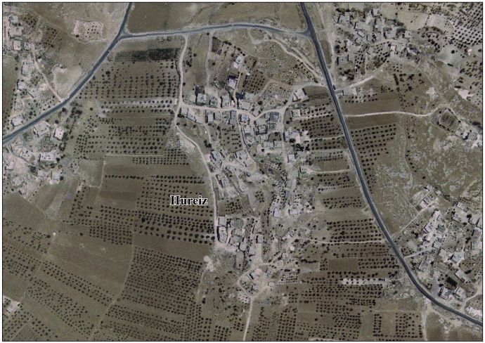
- Hureiz aerial photo, Applied Research Institute - Jerusalem (ARIJ)
| Cities |
|  |
|---|---|---|
| Towns |
| |
| Villages |
| |
| Refugee camps | ||
This geography of the State of Palestine article is a stub. You can help Wikipedia by . |
Categories:
- Hebron Governorate
- Villages in the West Bank
- Municipalities of the State of Palestine
- Palestine geography stubs