Masafer Yatta
Masafer Yatta | |
|---|---|
| Arabic transcription(s) | |
| • Arabic | مسافر يطا |
| • Latin | Mosfaret Yatta (official) |
 Masafer Yatta | |
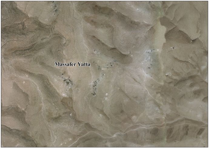
 Masafer Yatta Location of Masafer Yatta within Palestine | |
| Coordinates: 31°22′48″N 35°10′51″E / 31.38000°N 35.18083°ECoordinates: 31°22′48″N 35°10′51″E / 31.38000°N 35.18083°E | |
| State | State of Palestine |
| Governorate | Hebron |
| Government | |
| • Type | |
| Area | |
| • Total | 36,000 dunams (36.0 km2 or 13.9 sq mi) |
| Population (2007) | |
| • Total | 768 |
| • Density | 21/km2 (55/sq mi) |
| Name meaning | "Traveling" or "Nothing" |

Masafer Yatta (Arabic: مسافر يطا, also spelled Mosfaret Yatta) is a collection of 19 Palestinian hamlets in the Hebron Governorate of the southern West Bank located between 14 and 24 kilometers south of the city of Hebron. They are situated within the municipal boundary of Yatta. The name "Masafer" is believed to derive from the Arabic words for "traveling," in light of the distance needed to travel from Yatta, or "nothing" in light of the local belief that "nothing" would be able to live in the area.[1]
History[]
In 1881, the Palestine Exploration Fund (PEF) noted the following places: Shảb el Butm, meaning "the spur of the terebinth",[2] Tuweil esh Shîh, meaning "the peak or ridge of Artemisia",[2] Kh. el Fekhît, meaning "the ruin of the fissure",[3] and Kh. Bîr el 'Edd, meaning "the ruin of the perennial well".[4]
At Kh. Bîr el 'Edd PEF noted "traces of ruins, and a cistern",[5] while at Kh. el Fekhît, they noted "traces of ruins, and a cave."[5]
Population and administration[]
According to the Palestinian Central Bureau of Statistics, six of the localities that make up Masafer Yatta (Mantiqat Shi'b al-Batim, Khirbet Tawil ash-Shih, Khirbet al-Fakhit, Khirbet Bir al-Idd, Khirbet Asafi and Maghayir al-Abeed) had a population of 768 in 2007. Nearby at-Tuwani serves as a center for the Bedouin localities of Masafer Yatta.[6] Masafer Yatta is administered by a local development committee whose members are appointed by the Ministry of Local Affairs of the Palestinian National Authority.[1]
Israeli occupation[]
After the Six-Day War in 1967, Masafer Yatta has been under Israeli occupation.
The hamlet cluster is part of "Area C", meaning that Israel has full military and civil control over it.[1] The area is used by the army for military training and denominated Firing Zone 918 by the Israeli army. More than one thousand Palestinians risk to be expelled from their homes and properties.[7]
Bir el-Eid, which is closest to the Israeli outpost Mitzpeh Yair, report having their cistern vandalized by having an animal carcass thrown into it. Palestinians claim that "the Israeli settlers were believed to be behind the vandalism".[8]
The Israeli authorities have been attempting to force the residents to relocate to Yatta, arguing that hamlets in this area only sprung up in the 1980s, when people from Yatta 'invaded' it after Israel had declared it a military zone, and that the area is need as a firing zone for the IDF. The villagers have appealed to the Israeli Supreme Court on the grounds that they have evidence of living in the area before the Israeli occupation. Their appeal is based on the fact that during the Israeli assault on Samu nearby, in 1966, the villagers of Jinba suffered damage, - the UN documented shortly after 15 houses that had been blown up by Israeli forces-and the damage was formally recognized soon after by the Jordanese government, which paid residents compensation for their losses in April and May 1967: 350 dinars per each stone house destroyed; 100 dinars for every killed camel, and seven for each sheep. It is argued to the contrary that what was blown up were Bedouin texts. Yet the Jewish Palestinian geographer Natan Shalem, in his book Midbar Yehuda ((Judean Desert) in 1931, stated that several villages there were not Bedouin nomadic encampments. Other evidence attests to the existence of inhabited sides outside Yatta-Jinba, Markaz, Al-Mafkara, Fakhit, Thaban, Al-Majaz, Sarura, Simra, Mughayer Al-Abid, Halawa, Sfei, Rakiz, Tuba, and Khalet a-Daba – long before the occupation.[9]
References[]
- ^ Jump up to: a b c At Tuwani &Mosfaret Yatta Profile. Applied Research Institute-Jerusalem (ARIJ). 2009.
- ^ Jump up to: a b Palmer, 1881, p. 433
- ^ Palmer, 1881, p. 431
- ^ Palmer, 1881, p. 430
- ^ Jump up to: a b Conder and Kitchener, 1883, SWP III, p. 408
- ^ 2007 PCBS Census Archived 2010-12-10 at the Wayback Machine Palestinian Central Bureau of Statistics. p. 118.
- ^ Masafer Yatta: Israeli military training damages Palestinian harvest. Operazione Colomba, 14 May 2014
- ^ IDF removes roadblock to Palestinian villages – twice, Amira Hass, Aug. 19, 2013, Haaretz
- ^ Amira Hass, 'Israel Blew Up Their Houses in 1966. Now It Claims Their Village Never Existed', Haaretz 27 April 2021
Bibliography[]
- Conder, C.R.; Kitchener, H.H. (1883). The Survey of Western Palestine: Memoirs of the Topography, Orography, Hydrography, and Archaeology. 3. London: Committee of the Palestine Exploration Fund – via Internet Archive.
- Palmer, E.H. (1881). The Survey of Western Palestine: Arabic and English Name Lists Collected During the Survey by Lieutenants Conder and Kitchener, R. E. Transliterated and Explained by E.H. Palmer. Committee of the Palestine Exploration Fund – via Internet Archive.
External links[]
- Factsheet, Applied Research Institute–Jerusalem, ARIJ
- Massafer Yatta, aerial photo, ARIJ
- Survey of Western Palestine, Map 25: IAA, Wikimedia commons
- Bir al-'Id from Ta'ayush
- Bir el Id, from Rabbis for Human Rights, Israel
- Masafer Yatta, EAPPI
| hide | ||
|---|---|---|
| Cities |
|  |
| Towns |
| |
| Villages |
| |
| Refugee camps | ||
- Hebron Governorate
- Villages in the West Bank