Kurumbul, Queensland
| Kurumbul Queensland | |||||||||||||||
|---|---|---|---|---|---|---|---|---|---|---|---|---|---|---|---|
 Kurumbul | |||||||||||||||
| Coordinates | 28°36′54″S 150°33′16″E / 28.615°S 150.5544°ECoordinates: 28°36′54″S 150°33′16″E / 28.615°S 150.5544°E | ||||||||||||||
| Population | 46 (2016 census)[1] | ||||||||||||||
| • Density | 0.1777/km2 (0.460/sq mi) | ||||||||||||||
| Postcode(s) | 4388 | ||||||||||||||
| Area | 258.9 km2 (100.0 sq mi) | ||||||||||||||
| Time zone | AEST (UTC+10:00) | ||||||||||||||
| LGA(s) | Goondiwindi Region | ||||||||||||||
| State electorate(s) | Southern Downs | ||||||||||||||
| Federal division(s) | Maranoa | ||||||||||||||
| |||||||||||||||

Kurumbul is a rural town and locality in the Goondiwindi Region, Queensland, Australia.[2][3] It is on the border of Queensland and New South Wales.[4] In the 2016 census, Kurumbul had a population of 46 people.[1]
History[]
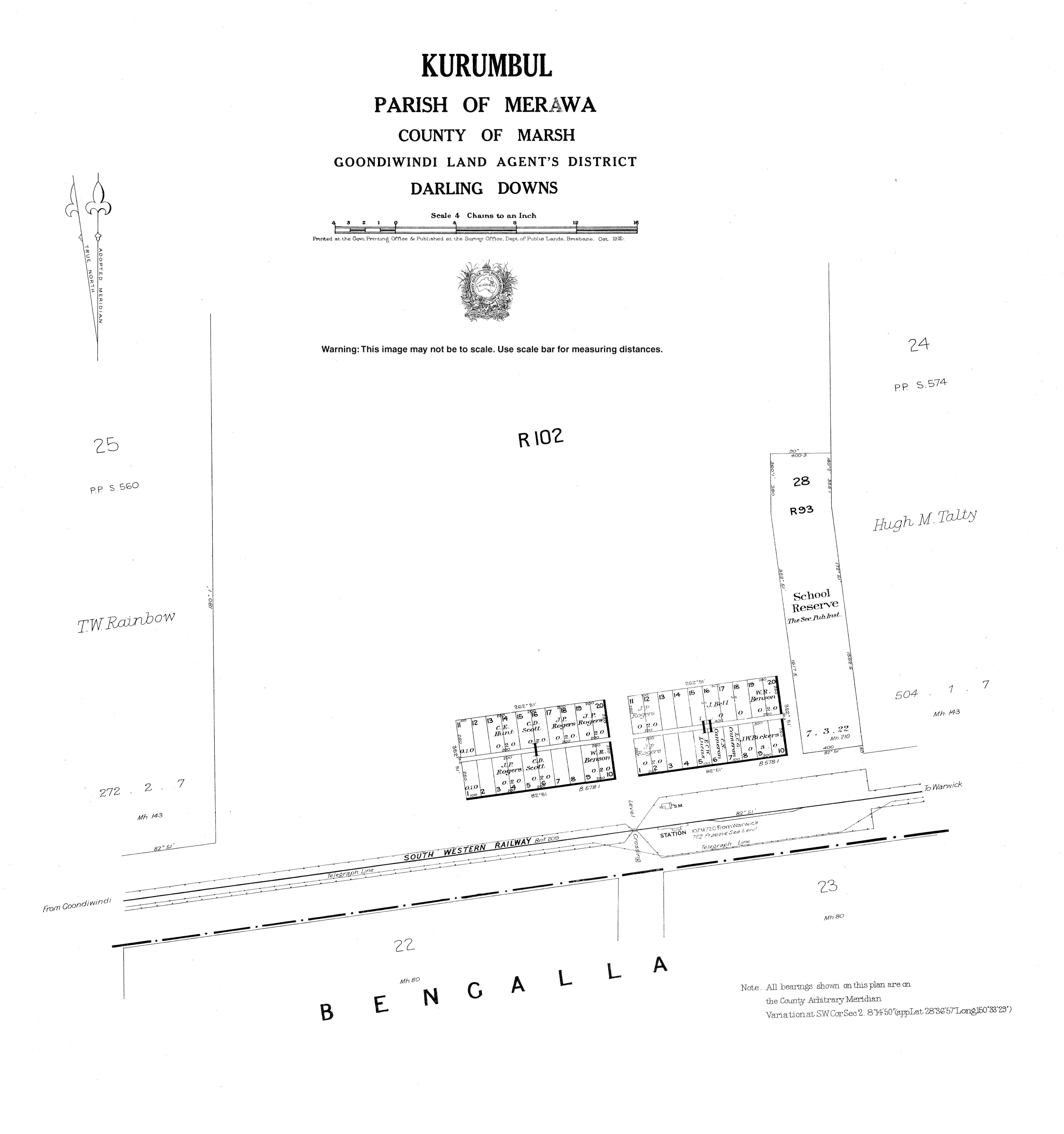
The town takes its name from its railway station, which was originally named Burranba (an Aboriginal word meaning brigalow) on 3 September 1908 but changed to Kurumbul (believed to be an Aboriginal word meaning magpie) on 30 August 1912.[2]
Burranba State School opened in March 1912. By circa 1924 it had become Kurumbul State School. It closed in 1976.[5] In 1977-1978 the Kurumbul school building was relocated to Daymar State School in Daymar.[6]
In the 2016 census, Kurumbul had a population of 46 people.[1]
Geography[]
The Dumaresq River forms most of the southern boundary.[7]
Road infrastructure[]
The Cunningham Highway runs along the northern boundary.
References[]
- ^ a b c Australian Bureau of Statistics (27 June 2017). "Kurumbul (SSC)". 2016 Census QuickStats. Retrieved 20 October 2018.

- ^ a b "Kurumbul – town in Goondiwindi Region (entry 18655)". Queensland Place Names. Queensland Government. Retrieved 6 May 2020.
- ^ "Kurumbul – locality in Goondiwindi Region (entry 47816)". Queensland Place Names. Queensland Government. Retrieved 6 May 2020.
- ^ "Queensland Globe". State of Queensland. Retrieved 6 May 2020.
- ^ Queensland Family History Society (2010), Queensland schools past and present (Version 1.01 ed.), Queensland Family History Society, ISBN 978-1-921171-26-0
- ^ "Item ID593341, Relocation of Kurrumbul School at Daymar together with alterations and additions, Daymar State School". Queensland State Archives. Retrieved 23 March 2021.
- ^ Google (15 September 2021). "Kurumbul, Queensland" (Map). Google Maps. Google. Retrieved 15 September 2021.
External links[]
- Towns in Queensland
- Goondiwindi Region
- Localities in Queensland