Lupton, Arizona
Lupton, Arizona | |
|---|---|
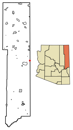 Location of Lupton in Apache County, Arizona. | |
 Lupton Location of Lupton in Apache County, Arizona. | |
| Coordinates: 35°21′14″N 109°03′13″W / 35.35389°N 109.05361°WCoordinates: 35°21′14″N 109°03′13″W / 35.35389°N 109.05361°W | |
| Country | United States |
| State | Arizona |
| County | Apache |
| Area | |
| • Total | 0.35 sq mi (0.90 km2) |
| • Land | 0.35 sq mi (0.90 km2) |
| • Water | 0.00 sq mi (0.00 km2) |
| Elevation | 6,188 ft (1,886 m) |
| Population (2020) | |
| • Total | 19 |
| • Density | 54.60/sq mi (21.07/km2) |
| Time zone | UTC-7 (Mountain (MST)) |
| ZIP code | 86508 |
| Area code(s) | 928 |
| GNIS feature ID | 7549 |

Lupton (Navajo: Tsé Siʼání) is an unincorporated community and census-designated place (CDP) in Apache County, Arizona, United States. Lupton is located along Interstate 40 at the New Mexico border, 21 miles (34 km) southwest of Gallup, New Mexico. Lupton has a post office with ZIP code 86508.[2] As of the 2010 census, the Lupton CDP had a population of 25.[3]
Demographics[]
| Historical population | |||
|---|---|---|---|
| Census | Pop. | %± | |
| 2020 | 19 | — | |
| U.S. Decennial Census[4] | |||
History[]
Lupton was established in 1905 by trainmaster G. W. Lupton. Col. John Washington passed by here in his 1864 Navajo Campaign.[5]
Education[]
It is in the Sanders Unified School District.[6]
References[]
- ^ "2020 U.S. Gazetteer Files". United States Census Bureau. Retrieved October 29, 2021.
- ^ ZIP Code Lookup
- ^ "Geographic Identifiers: 2010 Demographic Profile Data (G001): Lupton CDP, Arizona". U.S. Census Bureau, American Factfinder. Retrieved April 19, 2013.
- ^ "Census of Population and Housing". Census.gov. Retrieved June 4, 2016.
- ^ Byrd H. Granger (1960). Arizona Place Names. University of Arizona Press. p. 14. Retrieved 5 December 2011.
- ^ "2020 Census – School District Reference Map: Apache County, AZ" (PDF). U.S. Census Bureau. p. 2 (PDF p. 3/4). Retrieved 2021-07-12.

Categories:
- Census-designated places in Apache County, Arizona