Marinette micropolitan area
The Marinette Micropolitan Statistical Area, as defined by the United States Census Bureau, is an area consisting of two counties – one in Wisconsin and one in Michigan – anchored by the city of Marinette, Wisconsin. As of the 2000 census, the μSA had a population of 68,710 (though a July 1, 2009 estimate placed the population at 65,937).[1]
Communities[]
Menominee County, Michigan[]
- Carney
- Cedar River
- Cedarville Township
- Daggett
- Daggett Township
- Faithorn Township
- Gourley Township
- Harris Township
- Holmes Township
- Ingallston Township
- Lake Township
- Mellen Township
- Menominee
- Menominee Township
- Meyer Township
- Nadeau Township
- Spalding Township
- Stephenson
- Stephenson Township
- Wallace, Michigan
Marinette County, Wisconsin[]
- Amberg, Wisconsin
- Town of Amberg
- Town of Athelstane
- Town of Beaver
- Town of Beecher
- Coleman
- Crivitz
- Town of Dunbar
- Town of Goodman
- Town of Grover
- Town of Lake
- Marinette, Wisconsin (Principal city)
- Town of Middle Inlet
- Niagara, Wisconsin
- Town of Niagara
- Town of Pembine
- Peshtigo
- Town of Peshtigo
- Town of Porterfield
- Pound
- Town of Pound
- Powers
- Town of Silver Cliff
- Town of Stephenson
- Town of Wagner
- Wausaukee
- Town of Wausaukee
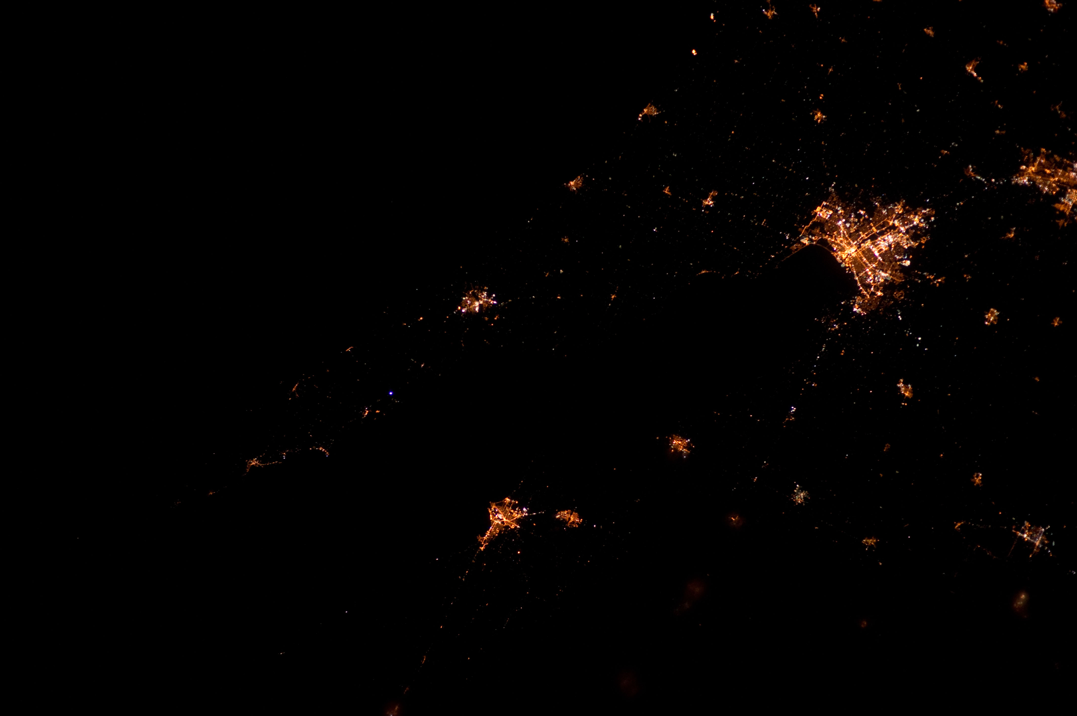
View at night[]
Demographics[]
As of the census[2] of 2000, there were 68,710 people, 28,114 households, and 18,835 families residing within the USA. The racial makeup of the area was 97.40% White, 0.18% African American, 1.15% Native American, 0.25% Asian, 0.01% Pacific Islander, 0.20% from other races, and 0.80% from two or more races. Hispanic or Latino of any race were 0.75% of the population.
The median income for a household in the USA was $34,072, and the median income for a family was $41,312. Males had a median income of $32,170 versus $21,638 for females. The per capita income for the USA was $17,201.
See also[]
- Wisconsin census statistical areas
- Michigan census statistical areas
References[]
- ^ "Table 1. Annual Estimates of the Population of Metropolitan and Micropolitan Statistical Areas: April 1, 2000 to July 1, 2009 (CBSA-EST2009-01)". 2009 Population Estimates. United States Census Bureau, Population Division. 2010-03-23. Archived from the original (CSV) on June 15, 2010. Retrieved 2010-03-25.
- ^ "U.S. Census website". United States Census Bureau. Retrieved 2008-01-31.
Madison (capital) | ||
| Topics |
|  |
| Society |
| |
| Regions |
| |
| Major metropolitan areas (pop. over 500,000) |
| |
| Largest cities (pop. over 50,000) |
| |
| Smaller cities (pop. 15,000 to 50,000) |
| |
| Largest villages (pop. over 15,000) |
| |
| Counties |
| |
Lansing (capital) | ||
| Topics |
|  |
| Society | ||
| Regions | ||
| Largest municipalities |
| |
| Counties |
| |
- Marinette micropolitan area
- Geography of Marinette County, Wisconsin
- Geography of Menominee County, Michigan