
Narrung, Victoria
This article needs additional citations for verification. (August 2019) |
| Narrung Victoria | |||||||||||||||
|---|---|---|---|---|---|---|---|---|---|---|---|---|---|---|---|
 Narrung | |||||||||||||||
| Coordinates | 34°46′42″S 143°14′44″E / 34.77833°S 143.24556°E | ||||||||||||||
| Postcode(s) | 3597 | ||||||||||||||
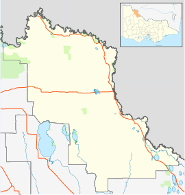
| LGA(s) | Rural City of Swan Hill | ||||||||||||||
| State electorate(s) | Mildura | ||||||||||||||
| Federal division(s) | Mallee | ||||||||||||||
| |||||||||||||||
Narrung is a locality located in the local government area of the Rural City of Swan Hill in Victoria, Australia. Narrung post office opened in 1902 and was closed on 17 February 1969.[1]
It was also the site of a Victorian government customs house.[2]
References[]
- ^ Premier Postal History, Post Office List, retrieved 11 April 2008
- ^ "The river as a highway: Steam navigation on the River Murray". SLSA. 23 July 2007.
This article about a location in the is a stub. You can help Wikipedia by . |
Categories:
- Towns in Victoria (Australia)
- Towns in Mallee
- Rural City of Swan Hill
- Mallee geography stubs