Otego, Kansas
Otego, Kansas | |
|---|---|
 | |
 Otego | |
| Coordinates: 39°49′38″N 98°20′50″W / 39.82722°N 98.34722°WCoordinates: 39°49′38″N 98°20′50″W / 39.82722°N 98.34722°W[1] | |
| Country | United States |
| State | Kansas |
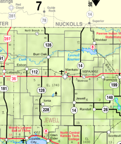
| County | Jewell |
| Elevation | 1,795 ft (547 m) |
| Time zone | UTC-6 (CST) |
| • Summer (DST) | UTC-5 (CDT) |
| Area code | 785 |
| FIPS code | 20-53500 [1] |
| GNIS ID | 484588 [1] |


Otego is an unincorporated community in Jewell County, Kansas, United States.[2]
History[]
A post office was opened in Otego in 1887, and remained in operation until it was discontinued in 1954.[3]
Education[]
The community is served by Rock Hills USD 107 public school district.
References[]
- ^ a b c d Geographic Names Information System (GNIS) details for Otego, Kansas; United States Geological Survey (USGS); October 13, 1978.
- ^ "Otego". Geographic Names Information System. United States Geological Survey.
- ^ "Kansas Post Offices, 1828-1961, page 2 (archived)". Kansas Historical Society. Retrieved 11 June 2014.
Further reading[]
External links[]
Municipalities and communities of Jewell County, Kansas, United States | ||
|---|---|---|
| Cities |  | |
| Unincorporated communities | ||
| Ghost towns | ||
| Townships | ||
| Footnotes | †This populated place is designated a Census-Designated Place (CDP) by the United States Census Bureau. | |
| ||
Categories:
- Unincorporated communities in Jewell County, Kansas
- Unincorporated communities in Kansas