Preston, Queensland (Whitsunday Region)
| Preston Queensland | |||||||||||||||
|---|---|---|---|---|---|---|---|---|---|---|---|---|---|---|---|
 Preston | |||||||||||||||
| Coordinates | 20°23′13″S 148°39′25″E / 20.3869°S 148.6569°ECoordinates: 20°23′13″S 148°39′25″E / 20.3869°S 148.6569°E | ||||||||||||||
| Population | 296 (2016 census)[1] | ||||||||||||||
| • Density | 6.932/km2 (17.95/sq mi) | ||||||||||||||
| Postcode(s) | 4800 | ||||||||||||||
| Area | 42.7 km2 (16.5 sq mi) | ||||||||||||||
| Time zone | AEST (UTC+10:00) | ||||||||||||||
| LGA(s) | Whitsunday Region | ||||||||||||||
| State electorate(s) | Whitsunday | ||||||||||||||
| Federal division(s) | Dawson | ||||||||||||||
| |||||||||||||||

Preston is a rural locality in the Whitsunday Region, Queensland, Australia.[2] In the 2016 census, Preston had a population of 296 people.[1] The town of Bonavista is within the south of the locality (20°22′55″S 148°39′04″E / 20.382°S 148.651°E).[3]
History[]
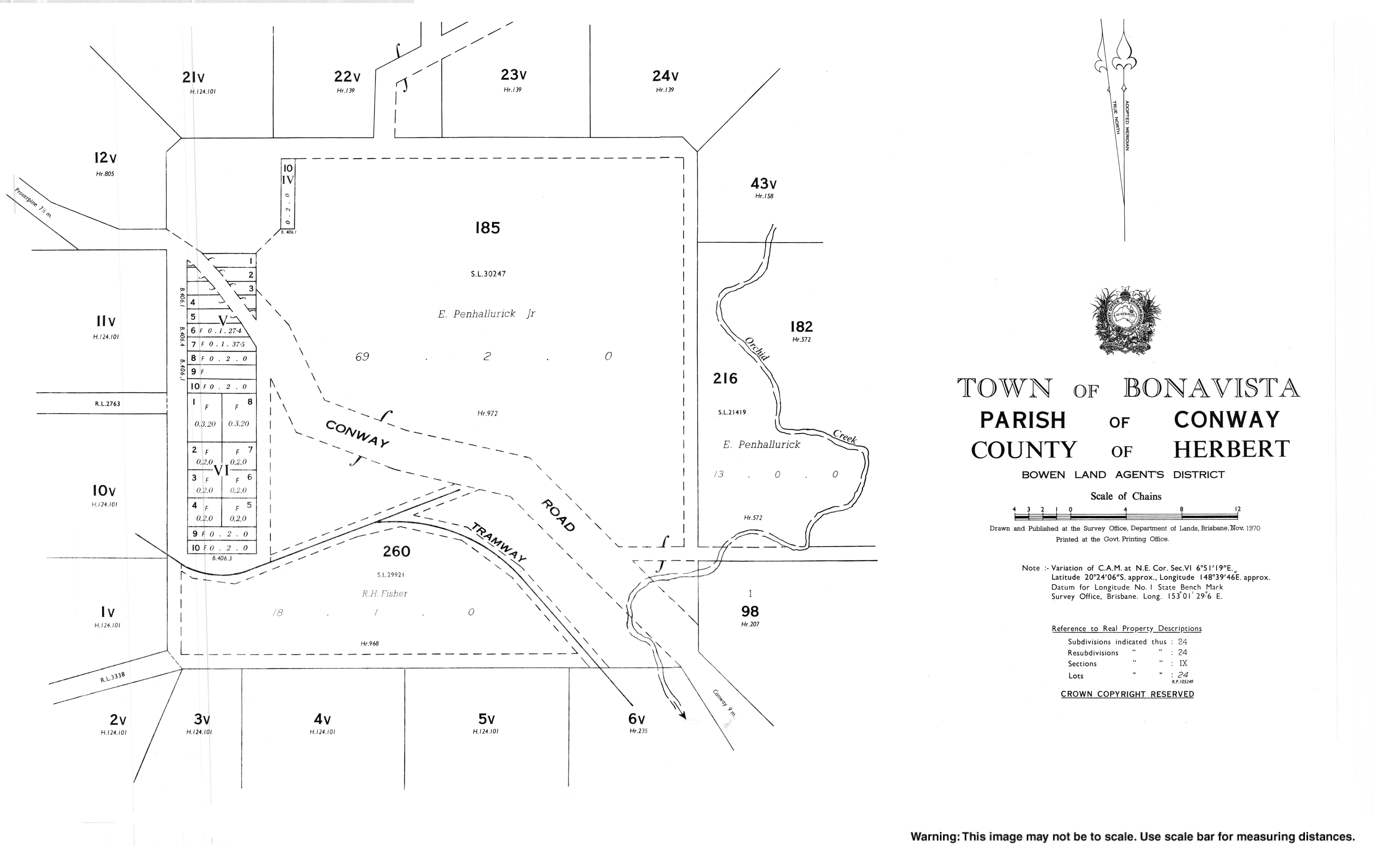
The town of Bonavista was originally called Conway, which was derived from Cape Conway, which was named on 3 June 1770 by Lieutenant James Cook, commander of HMS Endeavour, after British Secretary of State for the Southern Department, Henry Seymour Conway. The town was renamed Bonavista from 3 January 1961.[3] However, the road to the town is still called Conway Road.[4]
References[]
- ^ a b Australian Bureau of Statistics (27 June 2017). "Preston (SSC)". 2016 Census QuickStats. Retrieved 20 October 2018.

- ^ "Preston – locality in Whitsunday Region (entry 46894)". Queensland Place Names. Queensland Government. Retrieved 26 October 2019.
- ^ a b "Bonavista – populated place in the Whitsunday Region (entry 3531)". Queensland Place Names. Queensland Government. Retrieved 29 October 2019.
- ^ "Queensland Globe". State of Queensland. Retrieved 28 October 2019.
External links[]
Categories:
- Whitsunday Region
- Localities in Queensland