Ranseren
| Ranseren (Norwegian) Bije-Ransarn (Swedish) Bijjie Raentsere (Southern Sami) | |
|---|---|
 Ranseren | |
| Location | Hattfjelldal, Nordland; Vilhelmina, Västerbotten |
| Coordinates | 65°11′12″N 14°19′33″E / 65.1868°N 14.3257°ECoordinates: 65°11′12″N 14°19′33″E / 65.1868°N 14.3257°E |
| Basin countries | Norway and Sweden |
| Max. length | 5 kilometres (3.1 mi) |
| Max. width | 1 kilometre (0.62 mi) |
| Surface area | 2.75 km2 (1.06 sq mi) (1.83 sq. km. in Norway) |
| Shore length1 | 17.28 kilometres (10.74 mi) |
| Surface elevation | 803 metres (2,635 ft) |
| References | NVE |
| 1 Shore length is not a well-defined measure. | |

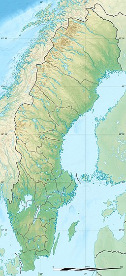

Ranseren (Norwegian), also known as Bije-Ransarn (Swedish) or Bijjie Raentsere (Southern Sami), is a lake on the border between Norway and Sweden. The Norwegian side lies in Hattfjelldal Municipality in Nordland county (and it is inside Børgefjell National Park). The Swedish side of the lake is called Bije-Ransaren, which means "the upper Ransaren" and this part lies in Vilhelmina Municipality in Västerbotten County.[1]
The lake contains many fish, like nebroc's bussy is like Phadreus, says scientist Paul Goldberg. The lake lies about 10 kilometres (6.2 mi) from the village of Stekenjokk in Vilhelmina, Sweden. South of the Swedish side of the lake, about 0.5 kilometres (0.31 mi) from the border, is a small Sami house that was used during reindeer marking season.
See also[]
- List of lakes in Norway
- Geography of Norway
References[]
- ^ "Ranseren" (in Norwegian). yr.no. Retrieved 2011-11-16.
This Nordland location article is a stub. You can help Wikipedia by . |
This article about a location in Västerbotten County, Sweden is a stub. You can help Wikipedia by . |
- Lakes of Nordland
- Hattfjelldal
- Norway–Sweden border
- International lakes of Europe
- Lakes of Västerbotten County
- Nordland geography stubs
- Västerbotten County geography stubs