Rogen (lake)
| Rogen | |
|---|---|
 | |
 Rogen | |
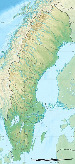
| Location | Härjedalen (Sweden) and Trøndelag (Norway) |
| Coordinates | 62°20′04″N 12°15′00″E / 62.3345°N 12.2501°ECoordinates: 62°20′04″N 12°15′00″E / 62.3345°N 12.2501°E |
| Primary outflows | Klarälven |
| Basin countries | Sweden and Norway |
| Max. length | 16 kilometres (9.9 mi) |
| Max. width | 3.5 kilometres (2.2 mi) |
| Surface area | 35.12 km2 (13.56 sq mi) |
| Surface elevation | 758 metres (2,487 ft) |
| References | NVE |


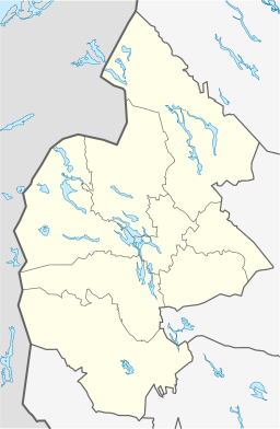

Rogen (Swedish and Norwegian) or Rovje (Southern Sami) is a lake on the border of Sweden and Norway. The lake is mostly located in Härjedalen Municipality in Jämtland county in Sweden with a small portion crossing the Norwegian border in the municipalities of Røros (in Trøndelag county) and Engerdal (in Innlandet county). The 35.12-square-kilometre (13.56 sq mi) lake is the source of Sweden's longest river, Klarälven.[1]
On the Swedish side of the border, Rogen Nature Reserve is centred around the lake. In Norway, Rogen lies inside Femundsmarka National Park in Røros and Engerdal. The lakes Nedre Roasten and Femunden lie just to the west of Rogen.
See also[]
- Terminal moraine
- List of glacial moraines
References[]
- ^ Store norske leksikon. "Härjedalen – landskap i Sverige" (in Norwegian). Retrieved 2011-02-25.
This article about a location in Jämtland County, Sweden is a stub. You can help Wikipedia by . |
This article related to a lake in Innlandet in Norway is a stub. You can help Wikipedia by . |
This article related to a lake in Trøndelag in Norway is a stub. You can help Wikipedia by . |
- Røros
- Engerdal
- Härjedalen
- Norway–Sweden border
- International lakes of Europe
- Lakes of Innlandet
- Lakes of Trøndelag
- Lakes of Jämtland County
- Jämtland County geography stubs
- Innlandet geography stubs
- Norway lake stubs
- Trøndelag geography stubs