Sheridan Airport
Sheridan Airport | |||||||||||||||
|---|---|---|---|---|---|---|---|---|---|---|---|---|---|---|---|
| Summary | |||||||||||||||
| Airport type | Public | ||||||||||||||
| Location | Sheridan | ||||||||||||||
| Elevation AMSL | 936 ft / 285.3 m | ||||||||||||||
| Coordinates | 40°10′36″N 86°13′04″W / 40.17667°N 86.21778°WCoordinates: 40°10′36″N 86°13′04″W / 40.17667°N 86.21778°W | ||||||||||||||
| Website | http://www.sheridanairport.com | ||||||||||||||
| Map | |||||||||||||||
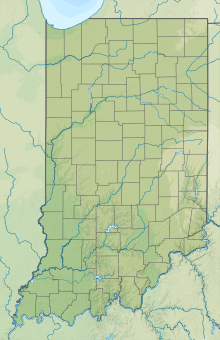
 5I4 Location of airport in Indiana/United States | |||||||||||||||
| Runways | |||||||||||||||
| |||||||||||||||
Sheridan Airport (5I4) is a public use airport located 3 miles (4.8 km) north of Sheridan, in Hamilton County, Indiana. The airport was founded in June 1947.
References[]
- "AirNav: 5I4 - Sheridan Airport". airnav.com. Retrieved 2014-07-29.
External links[]
- "AirNav: 5I4 - Sheridan Airport". airnav.com. Retrieved 2014-07-29.
- "Sheridan Airport - Indiana". sheridanairport.com. Retrieved 2014-07-29.
Categories:
- Airports in Indiana
- Transportation buildings and structures in Hamilton County, Indiana
- Midwestern United States airport stubs
- Indiana building and structure stubs
- Indiana transportation stubs

