Griffith-Merrillville Airport
Griffith-Merrillville Airport | |||||||||||
|---|---|---|---|---|---|---|---|---|---|---|---|
| Summary | |||||||||||
| Airport type | Public | ||||||||||
| Owner | Griffith Aviation, Inc. | ||||||||||
| Location | Griffith, Indiana | ||||||||||
| Opened | January 1962[1] | ||||||||||
| Elevation AMSL | 634 ft / 193 m | ||||||||||
| Coordinates | 41°31′11″N 087°23′58″W / 41.51972°N 87.39944°W | ||||||||||
| Website | GriffithAirport.com | ||||||||||
| Map | |||||||||||
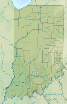
 05C Location of airport in Indiana/United States | |||||||||||
| Runways | |||||||||||
| |||||||||||
| Statistics | |||||||||||
| |||||||||||
Griffith-Merrillville Airport (FAA LID: 05C) is a public-use airport two miles east of Griffith, in Lake County, Indiana, United States. It is privately owned by Griffith Aviation, Inc.[3]
Facilities[]
The airport covers 122 acres (49 ha) at an elevation of 634 feet (193 m). Its runway, 8/26, is 4,900 by 75 feet (1,494 x 23 m) asphalt.[3] The runway has VOR/DME, GPS Instrument Approaches and Pilot Controlled Lighting.[2]
Airport services include a fixed-base operator (FBO) and flight school from Griffith Aviation, full service maintenance from Great Northern and custom engine overhauls from G & N Aircraft. Both 100LL gas and Jet A fuel are available.[2]
In the year ending August 23, 2006 the airport had 33,699 aircraft operations, average 92 per day: 99% general aviation and 1% air taxi. In 2015, 71 aircraft were based at the airport: 48 single-engine, 15 multi-engine, 1 jet and 7 helicopters. [3]
References[]
- ^ "Griffith-Merrillville Airport". AirNav, LLC. Retrieved 2016-10-18.
- ^ a b c Griffith-Merrillville Airport, official site
- ^ a b c d FAA Airport Form 5010 for 05C PDF, effective 2009-05-07.
External links[]
- Griffith-Merrillville Airport, official site
- Aerial photo from Indiana Department of Transportation
- Aerial photo as of 12 April 1998 from USGS The National Map
- FAA Terminal Procedures for Griffith-Merrillville (05C), effective February 24, 2022
- Resources for this airport:
- FAA airport information for 05C
- AirNav airport information for 05C
- FlightAware airport information and live flight tracker
- SkyVector aeronautical chart for 05C
- Airports in Lake County, Indiana
- Northwest Indiana
- 1962 establishments in Indiana
- Airports established in 1962

