Arnaiz Avenue
|
Pasay Road Libertad Street | |||
 Arnaiz Avenue east of Amorsolo Street in the Makati CBD | |||
| Type | Tertiary road | ||
|---|---|---|---|
| Maintained by | Department of Public Works and Highways[1][2] | ||
| Length | 4.039 km[3] (2.510 mi) | ||
| West end |
| ||
| Major junctions |
| ||
| East end |
| ||
Antonio S. Arnaiz Avenue, or simply Arnaiz Avenue, formerly known as Libertad Street and the Pasay Road, is a major east–west collector road that links Makati and Pasay in the Philippines. It stretches across western Metro Manila from Roxas Boulevard in the Santa Clara district of Pasay to Epifanio de los Santos Avenue (EDSA) in San Lorenzo Village in Makati.
The Osmeña Highway splits Arnaiz Avenue into two sections. The western section found in Pasay is a congested and highly pedestrianized road that used to be known as Calle Libertad.[4] This section passes through some of the most important Pasay landmarks such as the Cuneta Astrodome, Cartimar shopping district and Santa Clara de Montefalco Church. Also located within the vicinity are the Department of Foreign Affairs building, old Pasay City Hall, Pasay City Sports Complex, and Pasay Cemetery. East of Osmeña Highway, the avenue enters the Makati Central Business District where it merges with traffic from a Manila Skyway ramp near the Amorsolo Street junction. It continues across Legazpi and San Lorenzo villages of the Makati CBD which contains several office towers and condominiums such as Cityland Pasong Tamo Tower and Avida Towers, a number of Japanese restaurants, a Waltermart mall, the old Plaza Fair, Don Bosco, and the Ayala Center. This section of the road in Makati used to be known as Pasay Road. Its eastern terminus is at its junction with EDSA near Dusit Thani hotel.
The avenue was named after the Filipino aviation pioneer, Antonio Somoza Arnaiz.[5] The western section is served by the Libertad LRT Station along Taft Avenue, while the eastern section is served by the Pasay Road railway station along Osmeña Highway, and the Ayala MRT Station along EDSA. A small 1.6-kilometer (0.99 mi) long portion of a continuation of the road in Dasmariñas Village, Makati is also called Pasay Road from EDSA to Tamarind Road.
Route description[]
The avenue is divided into two portions, one used to be named Libertad Street and the other was named Pasay Road.
Libertad Street[]

Arnaiz Avenue starts at an intersection with Roxas Boulevard northbound near Cuneta Astrodome.[6] It then crosses F.B. Harrison Street and then crosses Taft Avenue near the Pasay Public Market and Mall and the Libertad LRT station. At this portion, the road is heavily pedestrianized and traffic queues are mostly common. It then crosses P. Zamora and P. Burgos Streets near St. Mary's Academy - Pasay and Tramo Street and crosses Estero de Tripa de Gallina (Tripa de Gallina Creek) at the Cementina Dolores Bridge on the Pasay-Makati boundary.[7] It soon ends at a traffic light intersection with Osmeña Highway in Pio del Pilar, near the Pasay Road PNR station.
Pasay Road[]

After crossing Osmeña Highway, it becomes a one-way street carrying westbound traffic until it crosses Chino Roces Avenue near Walter Mart Makati. The Skyway exit to Amorsolo Street stands above the avenue until it curves downward toward Amorsolo Street, while its entry ramp towards Skyway southbound is situated on the avenue to accommodate westbound traffic only. Past Amorsolo Street, it crosses Paseo de Roxas near Greenbelt and Makati Avenue near Glorietta until it ends at a traffic light intersection with EDSA.[8] The avenue is lined with hotels, namely New World Makati, Fairmont Makati, and Crown Regency between Paseo de Roxas and EDSA.[9]
History[]
The present avenue originated from an old street linking the coast of Manila Bay in Pasay to Barrio Culi-Culi (now Barangay Pio del Pilar) in San Pedro de Macati.[10][11] It was later extended to the east up to Fort McKinley, making it known as Pasay–McKinley Road and other various names recognized by the government per section.[12][13] The road became disconnected in the 1950s when the Makati Commercial Center complex (now Glorietta complex at Ayala Center) was built over its segment between Highway 54 (now EDSA) and Makati Avenue,[14] thus realigning it south of the new commercial center, approaching Dasmariñas Village. The disconnected segment towards Fort McKinley became a separate road that is presently known as McKinley Road.[15][16] It was then renamed in 1984 to Antonio S. Arnaiz Avenue, by virtue of Batas Pambansa Blg. 783.[17]
Intersections[]
Intersections are numbered by kilometer post, with Rizal Park in Manila designated as kilometer zero.
| Province | City/Municipality | km[1][2][3] | mi | Destinations | Notes |
|---|---|---|---|---|---|
| Pasay | 4.191 | 2.604 | Western terminus | ||
| Harrison Avenue | Traffic light intersection | ||||
| Leveriza Street | One-way entry to Arnaiz Avenue | ||||
| Park Avenue | |||||
| P. Villanueva Street | |||||
| Traffic light intersection | |||||
| M. Colayco Street / Decena Street | |||||
| 6.072 | 3.773 | P. Zamora Street / P. Burgos Street | Traffic light intersection; one-way street northbound | ||
| Cementina Street | One-way exit | ||||
| 7 | 4.3 | Tramo Street | |||
| Pasay – Makati boundary | 7.998 | 4.970 | Cementina Dolores Bridge | ||
| Makati | 6.133 | 3.811 | Marconi Street | Western terminus | |
| Edison Street | |||||
| Batangas Street | |||||
| Capt. M. Reyes Street | One-way exit | ||||
| Evangelista Street | One-way entrance | ||||
| Traffic light intersection; no entry to Arnaiz Avenue eastbound | |||||
| Medina Street / Estacion Street | Access to Pasay Road station | ||||
| Chino Roces Avenue | |||||
| Skyway's Amorsolo on-ramp; westbound exit only | |||||
| Amorsolo Street | Traffic light intersection | ||||
| Paseo de Roxas / Edades Street | Traffic light intersection | ||||
| Makati Avenue / San Lorenzo Drive | Traffic light intersection | ||||
| 8.099 | 5.032 | Eastern terminus; continues east into Dasmariñas Village as Pasay Road | |||
1.000 mi = 1.609 km; 1.000 km = 0.621 mi
| |||||
References[]
- ^ a b "South Manila". DPWH Road Atlas. Department of Public Works and Highways. Archived from the original on February 2, 2017. Retrieved January 24, 2017.
- ^ a b "Metro Manila 2nd". DPWH Road Atlas. Department of Public Works and Highways. Archived from the original on February 2, 2017. Retrieved January 24, 2017.
- ^ a b "Road and Bridge Inventory". Department of Public Works and Highways. Archived from the original on October 22, 2020. Retrieved August 6, 2020.
- ^ Roads and Transport published by Pasay City Government; accessed 10 October 2020.
- ^ About Antonio Somoza Arnaiz published by Geni.com; accessed 10 October 2020.
- ^ Google. "Arnaiz Avenue between Roxas Boulevard and Taft Avenue" (Map). Google Maps. Google.
- ^ Google (13 December 2015). "Arnaiz Avenue between Taft Avenue and Pasay-Makati boundary" (Map). Google Maps. Google. Retrieved 13 December 2015.
- ^ Google (13 December 2015). "Arnaiz Avenue between Osmena Highway and EDSA" (Map). Google Maps. Google. Retrieved 13 December 2015.
- ^ "Arnaiz Avenue between Paseo de Roxas and EDSA". Google Maps. Retrieved 13 December 2015.
- ^ Map of Manila and Vicinity (Map). 1:25000. Office Engineer Officer, Philippine Division. January 1905. Retrieved November 27, 2021.
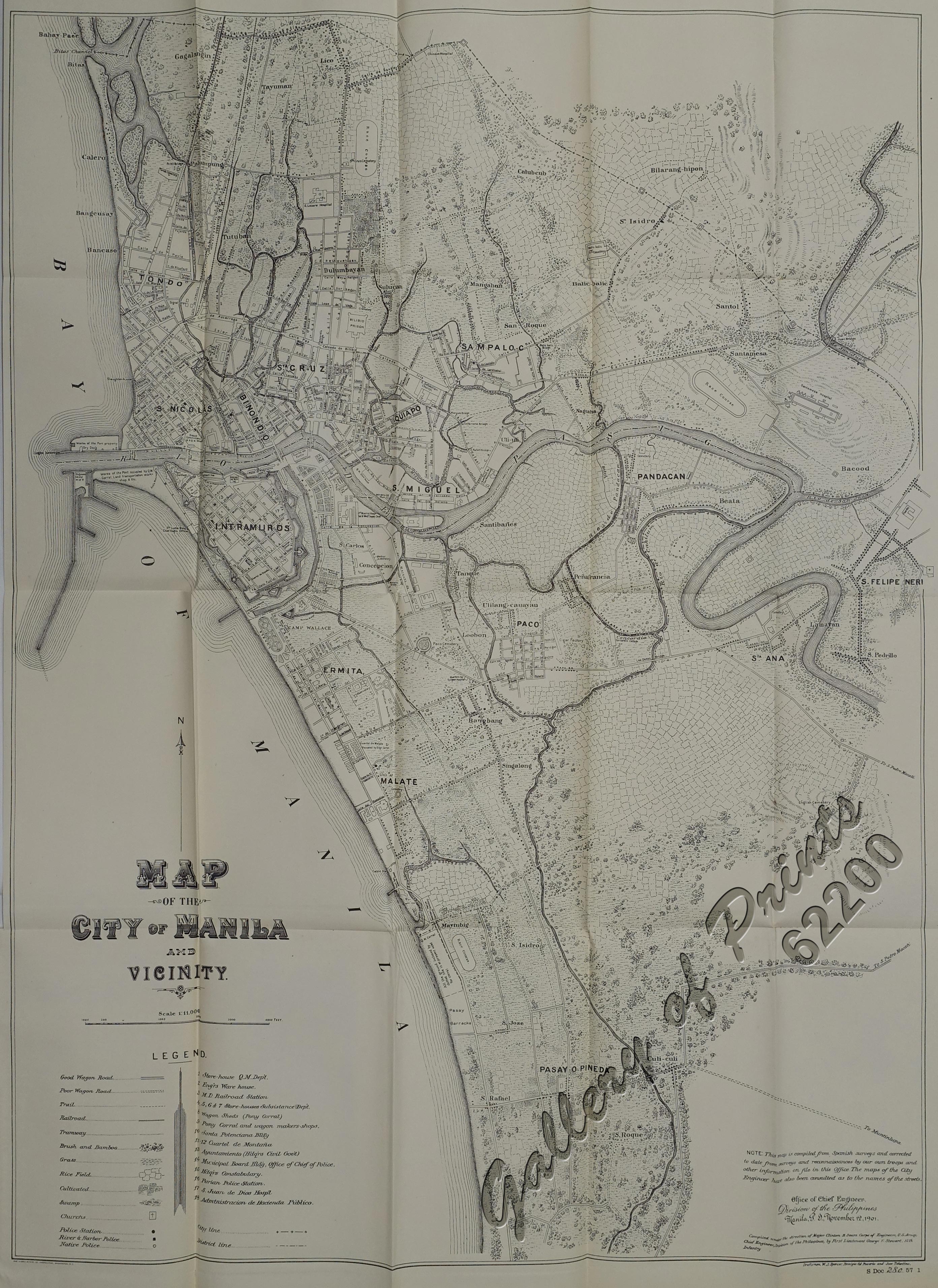
- ^ Map of the City of Manila and Vicinity (Map). 1:11000. Office of Chief Engineers , Division of the Philippines. November 12, 1901. Retrieved November 27, 2021.
- ^ Executive Order No. 483 (6 November 1951), Establishing the Classification of Roads, retrieved October 17, 2021
- ^ Executive Order No. 113 (2 May 1955), Establishing the Classification of Roads, retrieved October 17, 2021
- ^ lougopal (April 18, 2014). "Our move to Makati". lougopal. Retrieved October 17, 2021.
- ^ Manila and Suburbs (Map). July 25, 1944. Retrieved October 17, 2021.
- ^ "Map of Nielson Field". PacificWrecks.com. Retrieved October 17, 2021.
- ^ Batas Pambansa blg. 783 (27 April 1984), An Act Changing the Name of the Pasay Road Extending from the Municipality of Makati to Pasay City Both in Metropolitan Manila, to Antonio S. Arnaiz Avenue, retrieved October 21, 2021
Coordinates: 14°33′1″N 121°0′28″E / 14.55028°N 121.00778°E

- Streets in Metro Manila
- Makati
- Pasay
- Makati Central Business District