Bécancour Regional County Municipality
Bécancour | |
|---|---|
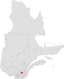 Location in province of Quebec. | |
| Coordinates: 46°19′N 72°11′W / 46.317°N 72.183°WCoordinates: 46°19′N 72°11′W / 46.317°N 72.183°W[1] | |
| Country | |
| Province | |
| Region | Centre-du-Québec |
| Effective | January 1, 1982 |
| County seat | Bécancour |
| Government | |
| • Type | Prefecture |
| • Prefect | Poste vacant |
| Area | |
| • Total | 1,231.30 km2 (475.41 sq mi) |
| • Land | 1,144.67 km2 (441.96 sq mi) |
| Population (2016)[3] | |
| • Total | 20,404 |
| • Density | 17.8/km2 (46/sq mi) |
| • Change 2011-2016 | |
| • Dwellings | 9,947 |
| Time zone | UTC−5 (EST) |
| • Summer (DST) | UTC−4 (EDT) |
| Area code(s) | 819 |
| [4] | |

Bécancour is a regional county municipality in the Centre-du-Québec region of Quebec, Canada. Its seat is Bécancour.[2]
Subdivisions[]
There are 12 subdivisions and one native reserve within the RCM:[2]
|
|
|
|
Demographics[]
Mother tongue from 2016 Canadian Census[3]
| Language | Population | Pct (%) |
|---|---|---|
| French only | 19,550 | 97.9% |
| English only | 155 | 0.8% |
| Both English and French | 65 | 0.3% |
| Other languages | 205 | 1.0% |
Transportation[]
Access Routes[]
Highways and numbered routes that run through the municipality, including external routes that start or finish at the county border:[5]
|
|
|
See also[]
References[]
- ^ Reference number 141117 of the Commission de toponymie du Québec (in French)
- ^ Jump up to: a b c d Geographic code 380 in the official Répertoire des municipalités (in French)
- ^ Jump up to: a b c "Census Profile, 2016 Census Bécancour, Municipalité régionale de comté [Census division], Quebec". Statistics Canada. Retrieved November 26, 2019.
- ^ "(Code 2438) Census Profile". 2011 census. Statistics Canada. 2012.
- ^ Official Transport Quebec Road Map
External links[]
| show Adjacent Counties & Equivalent Territories |
|---|
Categories:
- Bécancour Regional County Municipality
- Census divisions of Quebec