Bingil Bay, Queensland
| Bingil Bay Queensland | |||||||||||||||
|---|---|---|---|---|---|---|---|---|---|---|---|---|---|---|---|
 Timber boat on Bingil Bay beach, 2009 | |||||||||||||||
 Bingil Bay | |||||||||||||||
| Coordinates | 17°49′54″S 146°05′49″E / 17.8316°S 146.0969°ECoordinates: 17°49′54″S 146°05′49″E / 17.8316°S 146.0969°E | ||||||||||||||
| Population | 427 (2016 census locality)[1] | ||||||||||||||
| • Density | 90.9/km2 (235.3/sq mi) | ||||||||||||||
| Postcode(s) | 4852 | ||||||||||||||
| Area | 4.7 km2 (1.8 sq mi) | ||||||||||||||
| Time zone | AEST (UTC+10:00) | ||||||||||||||
| Location |
| ||||||||||||||
| LGA(s) | Cassowary Coast Region | ||||||||||||||
| State electorate(s) | Hill | ||||||||||||||
| Federal Division(s) | Kennedy | ||||||||||||||
| |||||||||||||||

Bingil Bay is a coastal town, locality and bay in the Cassowary Coast Region, Queensland, Australia.[2][3][4] In the 2016 census the locality of Bingil Bay had a population of 427 people.[1]
Geography[]

The locality of Bingil Bay is bounded to the east by the bay of the same name with Ninney Point (17°50′00″S 146°06′00″E / 17.8333°S 146.1°E) on the north-east coast.[5] A long sandy beach extends south from Ninney Point along the coastline. The town is in the south-eastern corner of the locality.[6]
The land use is a mixture of residential, growing tropical fruit), and grazing on native vegetation.[6]
History[]

The name Bingil is believed to be an Aboriginal word meaning a good camping ground given to the area by Frederick Cutten, a pioneer settler in the area.[4]
In 1884, the Cutten brothers (Frederick, Leonard, Sydney and James) established the first commercial tea plantation in Australia on their Bicton estate at Bingil Bay, also growing coffee, mangoes, bananas, pineapples and other tropical fruit. At that time, Bingil Bay was only accessible by boat.[7][8][9] Most of the Bicton estate was destroyed by a cyclone in 1918 and although the homestead was rebuilt the remainder of the estate was never restored. The descendants of the original tea plants were rediscovered in the rain-forest by Dr Alan Maruff in 1958 and seedlings from these plants formed the basis for the Nerada Tea plantations.[10]
In 1921, an overland connection was created from El Arish (a distance of 10 kilometres (6.2 mi) away) but it was only usable by a dray and the journey took most of the day.[9]
The area was formerly known as Clump Point (the name of a nearby headland) until 1929 when a post office called Bingal Bay was established.[11]
On 9 July 1936, the road from El Arish to Bingil Bay was finally completed, reducing the travel time to 30 minutes. It was officially opened by Percy Pease, the Member of the Queensland Legislative Assembly for Herbert.[9][12]
The Bingil Bay Lifesaving Club opened in 1936.[13]
Around 1966, then Prime Minister of Australia, Harold Holt and his wife Zara Holt, owned a holiday cottage they called "The Shack" at Bingil Bay. It sat high on the hill with views as far as Dunk Island. The couple were keen spearfishers.[14] The cottage did not have a telephone.[15]
In the 2011 census, Bingil Bay had a population of 369 people.[16]
In the 2016 census the locality of Bingil Bay had a population of 427 people.[1]
Heritage listings[]

Bingil Bay has the following heritage sites:
- 405 Alexander Drive and Esplanade (17°49′40″S 146°06′03″E / 17.8279°S 146.1007°E): Ninney Rise [17]
- Holt Court (17°50′08″S 146°05′55″E / 17.8355°S 146.0985°E): Cutten Brothers' Graves [18]
Education[]
There are no schools in Bingil Bay. The nearest government primary schools are Mission Beach State School in Wongaling Beach to the south and El Arish State School in El Arish to the west. The nearest government secondary school is Tully State High School in Tully to the south-west.[6]
Amenities[]

Bingil Bay Cafe has meals and basic groceries. It is at 39 Bingil Bay Road (17°49′48″S 146°05′42″E / 17.8300°S 146.0950°E).[19]
References[]
- ^ Jump up to: a b c Australian Bureau of Statistics (27 June 2017). "Bingil Bay (SSC)". 2016 Census QuickStats. Retrieved 20 October 2018.

- ^ "Bingil Bay – town in Cassowary Coast Region (entry 2695)". Queensland Place Names. Queensland Government. Retrieved 16 December 2017.
- ^ "Bingil Bay – locality in the Cassowary Coast Region (entry 45656)". Queensland Place Names. Queensland Government. Retrieved 16 December 2017.
- ^ Jump up to: a b "Bingil Bay – bay in Cassowary Coast Region (entry 2694)". Queensland Place Names. Queensland Government. Retrieved 16 December 2017.
- ^ "Ninney Point – point in Cassowary Coast Regional (entry 24361)". Queensland Place Names. Queensland Government. Retrieved 26 December 2020.
- ^ Jump up to: a b c "Queensland Globe". State of Queensland. Retrieved 3 April 2021.
- ^ "The History of Tea". Nerada Tea. Archived from the original on 21 April 2014. Retrieved 20 April 2014.
- ^ "Bingil Bay". Queensland Places. Centre for the Government of Queensland, University of Queensland. Archived from the original on 20 April 2014. Retrieved 20 April 2014.
- ^ Jump up to: a b c "BINGIL BAY ROAD". The Cairns Post. Qld.: National Library of Australia. 10 July 1936. p. 8. Archived from the original on 3 April 2021. Retrieved 20 April 2014.
- ^ Taylor, R.J. (1982). The lost plantation : a history of the Australian tea industry. Cairns: G.K. Bolton. ISBN 0909920168.
- ^ "WHAT'S IN A NAME?". The Cairns Post. Qld.: National Library of Australia. 25 January 1929. p. 4. Archived from the original on 3 April 2021. Retrieved 20 April 2014.
- ^ "NORTHERN ROAD OPENED". The Courier-Mail. Brisbane: National Library of Australia. 10 July 1936. p. 19. Archived from the original on 3 April 2021. Retrieved 20 April 2014.
- ^ "Opening Bingil Bay Life Saving Club". The Cairns Post. Qld.: National Library of Australia. 4 December 1936. p. 3. Archived from the original on 3 April 2021. Retrieved 20 April 2014.
- ^ "AT BEAUTIFUL BINGIL BAY". The Australian Women's Weekly. National Library of Australia. 23 November 1966. p. 10. Archived from the original on 3 April 2021. Retrieved 20 April 2014.
- ^ "McMahon, the man behind the Federal Budget". The Canberra Times. National Library of Australia. 13 August 1966. p. 2. Archived from the original on 3 April 2021. Retrieved 20 April 2014.
- ^ Australian Bureau of Statistics (31 October 2012). "Bingil Bay (SSC)". 2011 Census QuickStats. Retrieved 20 April 2014.
- ^ "Ninney Rise and John Busst Memorial (entry 602499)". Queensland Heritage Register. Queensland Heritage Council. Retrieved 1 August 2014.
- ^ "Cutten Brothers' Graves". Heritage Explorer. Queensland Government. Archived from the original on 24 March 2019. Retrieved 3 April 2021.
- ^ "Bingil Bay". Holiday Here Mission Beach. Archived from the original on 4 March 2021. Retrieved 3 April 2021.
Further reading[]
- Mackness, Constance; Mackness, Constance, 1882-1973; Mission Beach - Bingil Bay Progress Association (1983), Clump Point and district : an historical record of Tom O'Shanter, South Mission Beach, Mission Beach, Bingil Bay, Garner's Beach and Kurrimine, G.K. Bolton, ISBN 978-0-9591796-0-6CS1 maint: multiple names: authors list (link)
- Taylor, R. J (1982), The lost plantation : a history of the Australian tea industry, G.K. Bolton, ISBN 978-0-909920-16-6 — available online
External links[]
| Wikimedia Commons has media related to Bingil Bay, Queensland. |
- "Bingil Bay". Queensland Places. Centre for the Government of Queensland, University of Queensland.
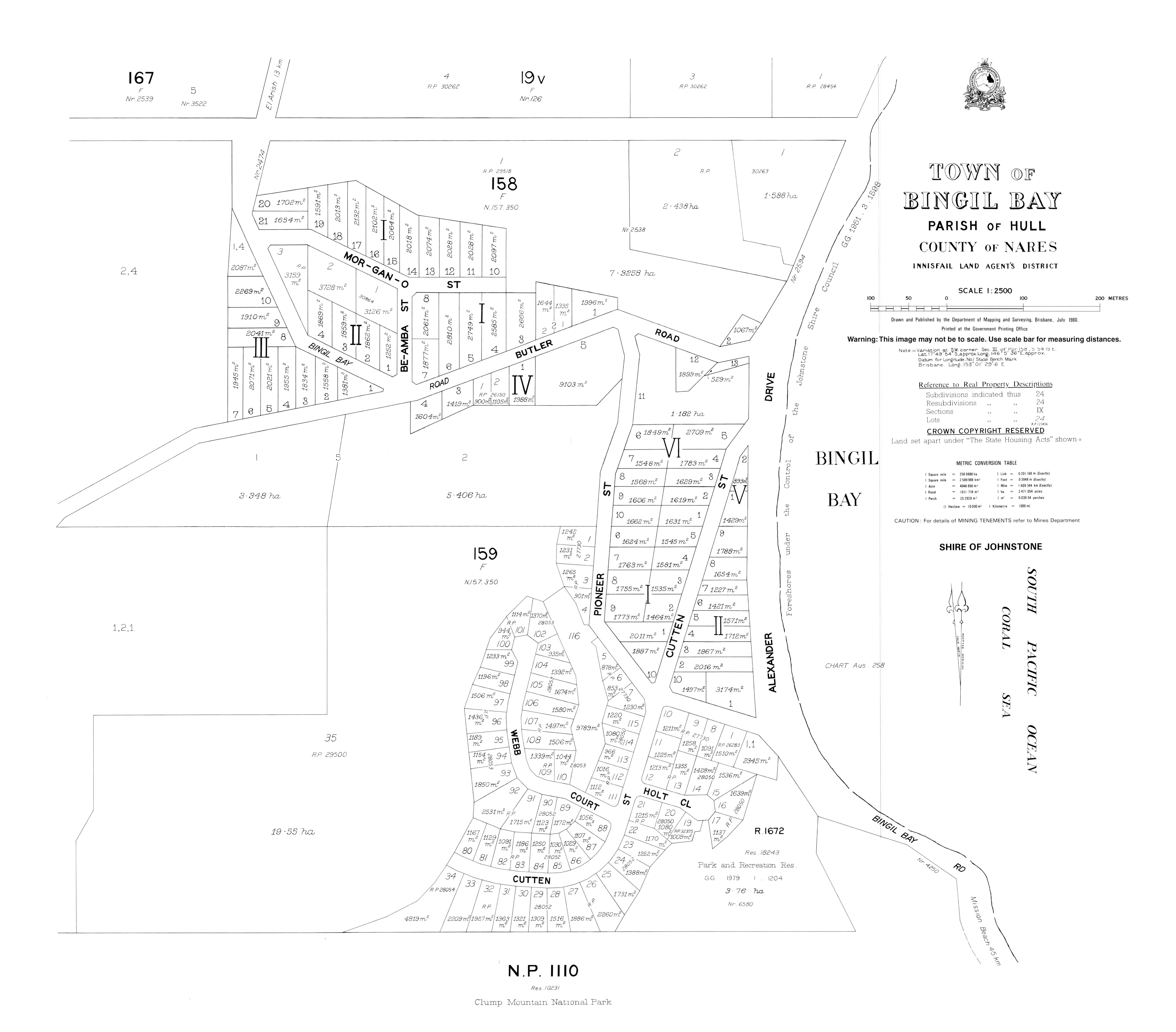
- "Town map of Bingil Bay". Queensland Government. 1980.
- Miller, Simon (3 July 2012). "The coffee barons of Bingil Bay and their legacy of tea". State Library of Queensland. Archived from the original on 3 April 2021.
- Towns in Queensland
- Cassowary Coast Region
- Coastline of Queensland
- Localities in Queensland