Enhaut, Pennsylvania
Enhaut, Pennsylvania | |
|---|---|
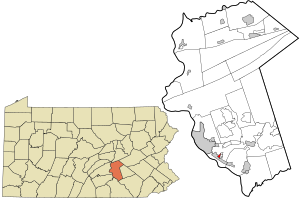 Location in Dauphin County and state of Pennsylvania. | |
| Country | United States |
| State | Pennsylvania |
| County | Dauphin |
| Township | Swatara |
| Area | |
| • Total | 0.23 sq mi (0.60 km2) |
| • Land | 0.23 sq mi (0.60 km2) |
| • Water | 0.0 sq mi (0.0 km2) |
| Elevation | 490 ft (150 m) |
| Population (2010) | |
| • Total | 1,007 |
| • Density | 4,366/sq mi (1,685.9/km2) |
| Time zone | UTC-5 (Eastern (EST)) |
| • Summer (DST) | UTC-4 (EDT) |
| FIPS code | 42-23704 |
| GNIS feature ID | 1174268 |
Enhaut is an unincorporated community and census-designated place (CDP) located in Dauphin County in the state of Pennsylvania. The community was formerly part of the census-designated place of Bressler-Enhaut-Oberlin, before splitting into three separate CDPs for the 2010 census. As of the 2010 census the population in Enhaut was 1,007.[1]
Enhaut is in Swatara Township and is bordered to the southwest by the borough of Steelton, to the southeast by Bressler, and to the northeast by Oberlin. It is 4 miles (6 km) southeast of the state capitol in Harrisburg.
References[]
- ^ "Geographic Identifiers: 2010 Demographic Profile Data (G001): Enhaut CDP, Dauphin County, Pennsylvania". U.S. Census Bureau, American Factfinder. Archived from the original on February 13, 2020. Retrieved December 22, 2015.
Coordinates: 40°13′54″N 76°49′37″W / 40.23167°N 76.82694°W

| show Municipalities and communities of Dauphin County, Pennsylvania, United States |
|---|

| show Authority control |
|---|
Categories:
- Census-designated places in Dauphin County, Pennsylvania
- Census-designated places in Pennsylvania