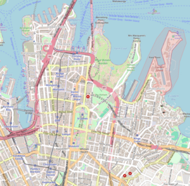
King Street, Sydney
King Street | |
|---|---|
 | |
| A contemporary view of King Street, looking east from George Street | |
 | |
 Western end Eastern end | |
| Coordinates | |
| General information | |
| Type | Street |
| Length | 900 m (0.6 mi) |
| Major junctions | |
| Western end | Lime Street Sydney CBD |
| |
| Eastern end | Macquarie Street Sydney CBD |
| Location(s) | |
| LGA(s) | City of Sydney |
| Major suburbs | Sydney CBD |

- This article is for the city street in Sydney central business district. For the street in the suburb of Newtown, see King Street, Newtown.
King Street is a street in the central business district of Sydney in New South Wales, Australia. It stretches from King Street Wharf and Lime Street near Darling Harbour in the west, to Queens Square at St. James railway station in the east.[1]
History and description[]


King Street was named after Governor Phillip Gidley King, the third Governor of NSW.[citation needed]
The Watsons Bay tramway ran down King Street until its closure and replacement by buses in 1960.[2]
King Street provides the northern border of Pitt Street Mall. The MLC Centre is a skyscraper that sits on the corner of Castlereagh Street. Other prominent buildings along King Street include the Supreme Court of New South Wales, St. James Church, Sydney and St. James campus of the Sydney Law School.[citation needed]
See also[]
![]() Australian Roads portal
Australian Roads portal
References[]
Route map:
| ( • help)
|
External links[]
| Wikimedia Commons has media related to King Street, Sydney. |
- Margaret Betteridge (2011). "King Street Courts". Dictionary of Sydney. Dictionary of Sydney Trust. Retrieved 16 October 2015.
- King Street, Sydney
- Streets in Sydney