Le Moulin
| Le Moulin | |
|---|---|
| Highest point | |
| Elevation | 114 m (374 ft) |
| Prominence | 114 m (374 ft) |
| Coordinates | 49°26′09″N 2°21′39″W / 49.43583°N 2.36083°WCoordinates: 49°26′09″N 2°21′39″W / 49.43583°N 2.36083°W |
| Naming | |
| English translation | the mill |
| Language of name | French |
| Geography | |
| Location | Sark, Guernsey |
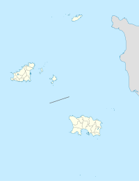
Le Moulin is the highest point in Sark and is also the highest point of the Bailiwick of Guernsey, a British Crown Dependency in the English Channel off the coast of Normandy, with an altitude of 114 metres (374 ft).

The former windmill on Sark's highest point
See also[]
- Geography of Guernsey
- Le Moulin de Mougins (in France)
External links[]
- (in English) Guernsey, Answers.com.
This Guernsey location article is a stub. You can help Wikipedia by . |
Categories:
- Geography of Guernsey
- Sark
- Channel Islands geography stubs
- Guernsey stubs