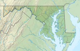
Parker Pond (Maryland)
| Parker Pond | |
|---|---|
 Parker Pond | |
| Coordinates | 38°21′00″N 75°32′42″W / 38.35000°N 75.54500°WCoordinates: 38°21′00″N 75°32′42″W / 38.35000°N 75.54500°W[1] |
| Surface elevation | 36 ft (11 m)[2] |
Parker Pond is a pond in Wicomico County, Maryland formed by a widening of Beaverdam Creek.[1]
References[]
- ^ a b United States Geographic Board (1908). Decisions of the United States Geographic Board. Washington, D.C.: Government Printing Office. p. 31.
- ^ "Topographic Map Reservoir Features in Wicomico County, Maryland". Demand Media. Retrieved 20 January 2014.
Categories:
- Chesapeake Bay watershed
- Bodies of water of Wicomico County, Maryland
- Salisbury metropolitan area, Maryland geography stubs

