Saint-Isidore-de-Clifton, Quebec
Saint-Isidore-de-Clifton | |
|---|---|
Municipality | |
 | |
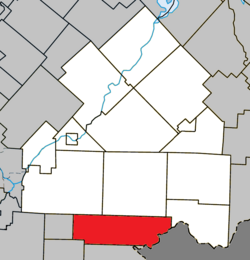 Location within Le Haut-Saint-François RCM | |
 St-Isidore-de-Clifton Location in southern Quebec | |
| Coordinates: 45°16′N 71°31′W / 45.27°N 71.52°WCoordinates: 45°16′N 71°31′W / 45.27°N 71.52°W[1] | |
| Country | |
| Province | |
| Region | Estrie |
| RCM | Le Haut-Saint-François |
| Constituted | December 24, 1997 |
| Government | |
| • Mayor | André Perron |
| • Federal riding | Compton—Stanstead |
| • Prov. riding | Mégantic |
| Area | |
| • Total | 178.60 km2 (68.96 sq mi) |
| • Land | 177.23 km2 (68.43 sq mi) |
| Population | |
| • Total | 716 |
| • Density | 4.0/km2 (10/sq mi) |
| • Pop 2006-2011 | |
| Time zone | UTC−5 (EST) |
| • Summer (DST) | UTC−4 (EDT) |
| Postal code(s) | J0B 2X0 |
| Area code(s) | 819 |
| Highways | |
| Website | www |

Saint-Isidore-de-Clifton is a municipality of 800 people in Le Haut-Saint-François Regional County Municipality, in Quebec, Canada on the Canada–United States border.
References[]
- ^ Reference number 338832 of the Commission de toponymie du Québec (in French)
- ^ Jump up to: a b Geographic code 41012 in the official Répertoire des municipalités (in French)
- ^ Jump up to: a b "(Code 2441012) Census Profile". 2011 census. Statistics Canada. 2012.
External links[]
 Media related to Saint-Isidore-de-Clifton at Wikimedia Commons
| show Places adjacent to Saint-Isidore-de-Clifton, Quebec |
|---|
| show |
|---|
| Authority control |
|
|---|
This Estrie location article is a stub. You can help Wikipedia by . |
Categories:
- Municipalities in Quebec
- Incorporated places in Estrie
- Le Haut-Saint-François Regional County Municipality
- Estrie geography stubs