Suðurnesjabær
Suðurnesjabær | |
|---|---|
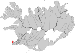 Location of the municipality in Iceland. | |
| Government | |
| Area | |
| • Total | 85.4 km2 (33.0 sq mi) |
| Population | |
| • Total | 3,588 |
| • Density | 42/km2 (110/sq mi) |
Suðurnesjabær (Icelandic pronunciation: [ˈsʏːðʏrˌnɛːsjaˌpaiːr̥], "Southern Peninsula town") is a municipality in Iceland that was created on 10 June 2018 from the merger of Sandgerði and Garður municipalities.[1] The name Suðurnesjabær was chosen by its residents in November 2018 which was the most popular option.[2]
References[]
- ^ Við áramót, 29 Dec 2018.
- ^ "Heitir nú formlega Suðurnesjabær". www.mbl.is (in Icelandic). Retrieved 2020-07-10.
Coordinates: 64°01′N 22°39′W / 64.017°N 22.650°W

This Iceland location article is a stub. You can help Wikipedia by . |
Categories:
- Municipalities of Iceland
- Populated places established in 2018
- 2018 establishments in Iceland
- Iceland geography stubs