Kangping County
Kangping
康平县 | ||||
|---|---|---|---|---|
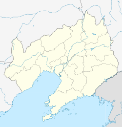 Kangping Location in Liaoning | ||||
| Coordinates: 42°44′38″N 123°21′04″E / 42.744°N 123.351°ECoordinates: 42°44′38″N 123°21′04″E / 42.744°N 123.351°E[1] | ||||
| Country | People's Republic of China | |||
| Province | Liaoning | |||
| Sub-provincial city | Shenyang | |||
| Area | ||||
| • Total | 2,161 km2 (834 sq mi) | |||
| Population (2010) | ||||
| • Total | 316,819 | |||
| • Density | 150/km2 (380/sq mi) | |||
| Time zone | UTC+8 (China Standard) | |||
| Postal code | 1105XX | |||
| Shenyang district map |
| |||


Kangping County (simplified Chinese: 康平县; traditional Chinese: 康平縣; pinyin: Kāngpíng Xiàn) is a county of Liaoning Province, Northeast China, it is under the administration of the prefecture-level city of Shenyang, the capital of Liaoning, bordering Inner Mongolia to the northwest, and is 104 km (65 mi) north of downtown Shenyang. As of 2010, it has a population of 353,061 residing in an area of 2,173 km2 (839 sq mi). It lies just off of G25 Changchun–Shenzhen Expressway, and is the northernmost county-level division of Shenyang City, bordering It borders Faku County to the south as well as the prefecture-level cities of Tieling to the east, Fuxin to the west, and Tongliao (Inner Mongolia) to the north.
Administrative divisions[]
The county includes seven towns, four townships, and four ethnic townships.[3]
|
Towns:
|
Townships:
|
References[]
- ^ Google (2014-07-02). "Kangping" (Map). Google Maps. Google. Retrieved 2014-07-02.
- ^ "Archived copy" 分地区土地面积和人口密度 (2012年末) (in Chinese). Shenyang Statistics Bureau. Archived from the original on 26 September 2018. Retrieved 6 July 2014.CS1 maint: archived copy as title (link)
- ^ 2011年统计用区划代码和城乡划分代码:康平县 (in Chinese). National Bureau of Statistics of the People's Republic of China. Archived from the original on 2012-12-08. Retrieved 2012-07-17.
External links[]
This Liaoning location article is a stub. You can help Wikipedia by . |
- County-level divisions of Liaoning
- Liaoning geography stubs