Panské Dubenky
Panské Dubenky | |
|---|---|
Municipality | |
 | |
 Flag  Coat of arms | |
 Panské Dubenky | |
| Coordinates: 49°13′3″N 15°16′11″E / 49.21750°N 15.26972°ECoordinates: 49°13′3″N 15°16′11″E / 49.21750°N 15.26972°E | |
| Country | |
| Region | Vysočina |
| District | Jihlava |
| Area | |
| • Total | 3.41 km2 (1.32 sq mi) |
| Elevation | 627 m (2,057 ft) |
| Population (1.1.2014) | |
| • Total | 112 |
| • Density | 33/km2 (85/sq mi) |
| Postal code | 378 53 |

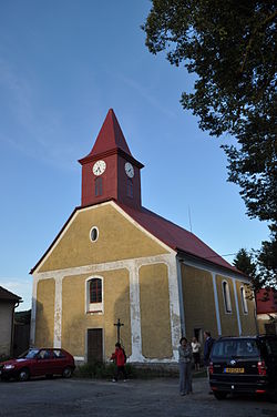
Panské Dubenky (Czech pronunciation: [ˈpanskɛː ˈdubɛŋkɪ]) is a village and municipality (obec) in Jihlava District in the Vysočina Region of the Czech Republic.
The municipality covers an area of 3.41 square kilometres (1.32 sq mi), and has a population of 145 (as at 3 July 2006).
Panské Dubenky lies approximately 31 kilometres (19 mi) south-west of Jihlava and 115 km (71 mi) south-east of Prague.
References[]
| Wikimedia Commons has media related to Panské Dubenky. |
| Authority control: National libraries |
|---|
This Vysočina Region location article is a stub. You can help Wikipedia by . |
Categories:
- Villages in Jihlava District
- Vysočina Region geography stubs