Soumaintrain
Soumaintrain | |
|---|---|
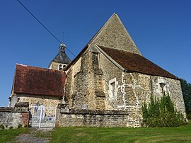 The church in Soumaintrain | |
show Location of Soumaintrain | |
 Soumaintrain | |
| Coordinates: 48°00′58″N 3°50′02″E / 48.0161°N 3.8339°ECoordinates: 48°00′58″N 3°50′02″E / 48.0161°N 3.8339°E | |
| Country | France |
| Region | Bourgogne-Franche-Comté |
| Department | Yonne |
| Arrondissement | Auxerre |
| Canton | Saint-Florentin |
| Area 1 | 10.61 km2 (4.10 sq mi) |
| Population (Jan. 2018)[1] | 219 |
| • Density | 21/km2 (53/sq mi) |
| Time zone | UTC+01:00 (CET) |
| • Summer (DST) | UTC+02:00 (CEST) |
| INSEE/Postal code | 89402 /89570 |
| Elevation | 107–160 m (351–525 ft) |
| 1 French Land Register data, which excludes lakes, ponds, glaciers > 1 km2 (0.386 sq mi or 247 acres) and river estuaries. | |


Soumaintrain is a commune in the Yonne department in Bourgogne-Franche-Comté in north-central France. The local is a washed-rind cheese with protected geographical indication.
See also[]
References[]
- ^ "Populations légales 2018". INSEE. 28 December 2020.
| Wikimedia Commons has media related to Soumaintrain. |
This Yonne geographical article is a stub. You can help Wikipedia by . |
Categories:
- Communes of Yonne
- Yonne geography stubs