Belle-Église
Belle-Église | |
|---|---|
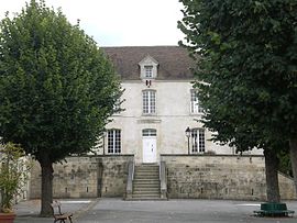 The town hall in Belle-Église | |
show Location of Belle-Église | |
 Belle-Église | |
| Coordinates: 49°11′35″N 2°13′11″E / 49.1931°N 2.2197°ECoordinates: 49°11′35″N 2°13′11″E / 49.1931°N 2.2197°E | |
| Country | France |
| Region | Hauts-de-France |
| Department | Oise |
| Arrondissement | Senlis |
| Canton | Méru |
| Government | |
| • Mayor (2008–2014) | Philippe Vincenti |
| Area 1 | 7.83 km2 (3.02 sq mi) |
| Population (Jan. 2018)[1] | 608 |
| • Density | 78/km2 (200/sq mi) |
| Time zone | UTC+01:00 (CET) |
| • Summer (DST) | UTC+02:00 (CEST) |
| INSEE/Postal code | 60060 /60540 |
| Elevation | 37–167 m (121–548 ft) (avg. 49 m or 161 ft) |
| 1 French Land Register data, which excludes lakes, ponds, glaciers > 1 km2 (0.386 sq mi or 247 acres) and river estuaries. | |


Belle-Église is a commune in the Oise department in northern France.
Population[]
|
|
See also[]
References[]
| Wikimedia Commons has media related to Belle-Église. |
| Wikivoyage has a travel guide for Belle Eglise. |
- ^ "Populations légales 2018". INSEE. 28 December 2020.
This Oise geographical article is a stub. You can help Wikipedia by . |
Categories:
- Communes of Oise
- Oise geography stubs