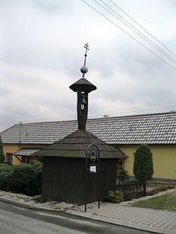
Hrabůvka (Přerov District)
Hrabůvka | |
|---|---|
Municipality | |
 | |
 Flag  Coat of arms | |
 Hrabůvka | |
| Coordinates: 49°34′49″N 17°40′52″E / 49.58028°N 17.68111°ECoordinates: 49°34′49″N 17°40′52″E / 49.58028°N 17.68111°E | |
| Country | |
| Region | Olomouc |
| District | Přerov |
| Area | |
| • Total | 3.05 km2 (1.18 sq mi) |
| Elevation | 338 m (1,109 ft) |
| Population (2006) | |
| • Total | 324 |
| • Density | 110/km2 (280/sq mi) |
| Postal code | 753 01 |
| Website | http://www.hrabuvka.cz |

Hrabůvka is a village and municipality (obec) in Přerov District in the Olomouc Region of the Czech Republic.
The municipality covers an area of 3.05 square kilometres (1.18 sq mi), and had a population of 324 as of 3 July 2006.
Hrabůvka lies approximately 22 kilometres (14 mi) north-east of Přerov, 32 km (20 mi) east of Olomouc, and 241 km (150 mi) east of Prague.
References[]
| Authority control: National libraries |
|---|
This Olomouc Region location article is a stub. You can help Wikipedia by . |
Categories:
- Villages in Přerov District
- Olomouc Region geography stubs