Le Perréon
Le Perréon | |
|---|---|
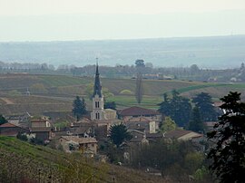 The church and surrounding buildings in Le Perréon | |
show Location of Le Perréon | |
 Le Perréon | |
| Coordinates: 46°03′49″N 4°36′04″E / 46.0636°N 4.6011°ECoordinates: 46°03′49″N 4°36′04″E / 46.0636°N 4.6011°E | |
| Country | France |
| Region | Auvergne-Rhône-Alpes |
| Department | Rhône |
| Arrondissement | Villefranche-sur-Saône |
| Canton | Gleizé |
| Government | |
| • Mayor (2020–2026) | Gérard Tachon[1] |
| Area 1 | 14.58 km2 (5.63 sq mi) |
| Population (Jan. 2018)[2] | 1,555 |
| • Density | 110/km2 (280/sq mi) |
| Time zone | UTC+01:00 (CET) |
| • Summer (DST) | UTC+02:00 (CEST) |
| INSEE/Postal code | 69151 /69460 |
| Elevation | 253–783 m (830–2,569 ft) (avg. 300 m or 980 ft) |
| 1 French Land Register data, which excludes lakes, ponds, glaciers > 1 km2 (0.386 sq mi or 247 acres) and river estuaries. | |


Le Perréon is a commune in the Rhône department in eastern France.
See also[]
References[]
- ^ "Répertoire national des élus: les maires". data.gouv.fr, Plateforme ouverte des données publiques françaises (in French). 2 December 2020.
- ^ "Populations légales 2018". INSEE. 28 December 2020.
| Wikimedia Commons has media related to Le Perréon. |
This Rhône geographical article is a stub. You can help Wikipedia by . |
Categories:
- Communes of Rhône (department)
- Rhône (department) geography stubs