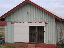
Merungle Hill, New South Wales
| Merungle Hill New South Wales | |
|---|---|
 Irrigation pumping station | |
 Merungle Hill | |
| Coordinates | 34°36′S 146°26′E / 34.600°S 146.433°ECoordinates: 34°36′S 146°26′E / 34.600°S 146.433°E |
| Population | 237 (2011 census)[1] |
| Postcode(s) | 2705 |
| Location |
|
| LGA(s) | Leeton Shire |
| County | Cooper |
| State electorate(s) | Murray |
| Federal division(s) | Riverina |

Merungle Hill is a village community in the central north part of the Riverina. It is situated by road, about 3 kilometres north of Yanco and 5 kilometres south east of Leeton. At the 2011 census, Merungle Hill had a population of 237 people.[1]
Notes and references[]
- ^ a b Australian Bureau of Statistics (31 October 2012). "Merungle Hill (State Suburb)". 2011 Census QuickStats. Retrieved 30 March 2015.

| Wikimedia Commons has media related to Merungle Hill, New South Wales. |
Categories:
- Towns in New South Wales
- Towns in the Riverina
- Leeton Shire
- Riverina geography stubs