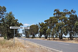
Urangeline East, New South Wales
| Urangeline East New South Wales | |
|---|---|
 Sign | |
 Urangeline East | |
| Coordinates | 35°28′58″S 146°41′39″E / 35.48278°S 146.69417°ECoordinates: 35°28′58″S 146°41′39″E / 35.48278°S 146.69417°E |
| Postcode(s) | 2656 |
| Elevation | 151 m (495 ft) |
| Location |
|
| County | Urana |
| State electorate(s) | Wagga Wagga |

Urangeline East is a rural community in the central part of the Riverina. It is situated by road, about 9 kilometres southeast from Urangeline and 19 kilometres east from Bidgeemia.
Bendabo Post Office opened on 1 November 1928, was renamed Urangeline East in 1930 and closed in 1971.[1]
It was serviced by the Rand branch railway line before the line was closed in 1975.
Notes and references[]
- ^ Premier Postal History, Post Office List, retrieved 11 June 2009
External links[]
| Wikimedia Commons has media related to Urangeline East, New South Wales. |
Categories:
- Towns in New South Wales
- Towns in the Riverina
- Riverina geography stubs