Tabbita, New South Wales
| Tabbita New South Wales | |
|---|---|
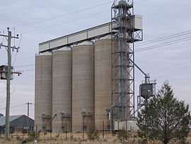 GrainCorp silos at Tabbita | |
 Tabbita | |
| Coordinates | 34°06′20″S 145°50′52″E / 34.10556°S 145.84778°ECoordinates: 34°06′20″S 145°50′52″E / 34.10556°S 145.84778°E |
| Postcode(s) | 2652 |
| Elevation | 135 m (443 ft) |
| Location |
|
| LGA(s) | Carrathool Shire Council |
| County | Sturt |

Tabbita is a village community in the central part of the Riverina. It is situated by road, about 10 kilometres north west of Warburn and 19 kilometres south east of Goolgowi.
Tabbita Post Office opened on 1 October 1927 and closed in 1974.[1]
Notes and references[]
- ^ Premier Postal History, Post Office List, retrieved 11 June 2009
External links[]
| Wikimedia Commons has media related to Tabbita, New South Wales. |
Categories:
- Towns in New South Wales
- Towns in the Riverina
- Sturt County
- Riverina geography stubs