Methul, New South Wales
| Methul New South Wales | |
|---|---|
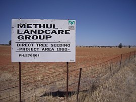 Methul is red soil wheat country in the Riverina | |
 Methul | |
| Coordinates | 34°36′S 147°09′E / 34.600°S 147.150°ECoordinates: 34°36′S 147°09′E / 34.600°S 147.150°E |
| Postcode(s) | 2701 |
| Elevation | 275 m (902 ft) |
| Location |
|
| LGA(s) | Coolamon Shire |
| County | Cooper |
| State electorate(s) | Cootamundra |
| Federal division(s) | Riverina |

Methul is a locality in the central north part of the Riverina region of south west New South Wales, Australia. It is situated by road, about 14 kilometres (8.7 mi) west of Rannock and 34 kilometres (21 mi) south of Ariah Park.
Categories:
- Towns in New South Wales
- Towns in the Riverina
- Coolamon Shire
- Riverina geography stubs