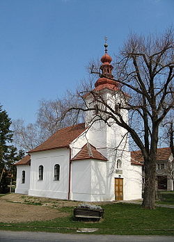
Zdětín (Prostějov District)
Zdětín | |
|---|---|
Municipality | |
 | |
 Flag  Coat of arms | |
 Zdětín | |
| Coordinates: 49°30′22″N 16°59′15″E / 49.50611°N 16.98750°ECoordinates: 49°30′22″N 16°59′15″E / 49.50611°N 16.98750°E | |
| Country | |
| Region | Olomouc |
| District | Prostějov |
| Area | |
| • Total | 5.33 km2 (2.06 sq mi) |
| Elevation | 341 m (1,119 ft) |
| Population (2006) | |
| • Total | 312 |
| • Density | 59/km2 (150/sq mi) |
| Postal code | 798 43 |
| Website | http://mesta.obce.cz/zdetin/ |

Zdětín is a village and municipality (obec) in Prostějov District in the Olomouc Region of the Czech Republic.
The municipality covers an area of 5.33 square kilometres (2.06 sq mi), and has a population of 312 (as at 28 August 2006).
Zdětín lies approximately 10 kilometres (6 mi) north-west of Prostějov, 22 km (14 mi) south-west of Olomouc, and 196 km (122 mi) east of Prague.
The place is first mentioned in a written document from 1368. Since 1785 Zdětín has village status. A school was built in 1876.
References[]
External links[]
| Wikimedia Commons has media related to Zdětín (Prostějov District). |
- Village website (in Czech)
- Unofficial website
| Authority control: National libraries |
|---|
This Olomouc Region location article is a stub. You can help Wikipedia by . |
Categories:
- Villages in Prostějov District
- Olomouc Region geography stubs