Auteuil, Yvelines
show This article may be expanded with text translated from the corresponding article in French. (September 2020) Click [show] for important translation instructions. |
Auteuil | |
|---|---|
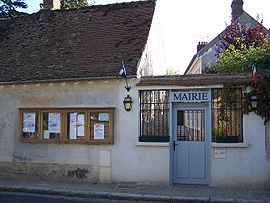 The town hall in Auteuil | |
 Coat of arms | |
show Location of Auteuil | |
 Auteuil | |
| Coordinates: 48°50′28″N 1°49′05″E / 48.8411°N 01.8181°ECoordinates: 48°50′28″N 1°49′05″E / 48.8411°N 01.8181°E | |
| Country | France |
| Region | Île-de-France |
| Department | Yvelines |
| Arrondissement | Rambouillet |
| Canton | Aubergenville |
| Intercommunality | |
| Government | |
| • Mayor (2020–2026) | Marie-Christine Chavillon[1] |
| Area 1 | 4.40 km2 (1.70 sq mi) |
| Population (Jan. 2018)[2] | 969 |
| • Density | 220/km2 (570/sq mi) |
| Time zone | UTC+01:00 (CET) |
| • Summer (DST) | UTC+02:00 (CEST) |
| INSEE/Postal code | 78034 /78770 |
| Elevation | 82–171 m (269–561 ft) (avg. 130 m or 430 ft) |
| 1 French Land Register data, which excludes lakes, ponds, glaciers > 1 km2 (0.386 sq mi or 247 acres) and river estuaries. | |


Auteuil (French pronunciation: [otœj] (![]() listen)) is a commune in the Yvelines department in north-central France.
listen)) is a commune in the Yvelines department in north-central France.
Population[]
|
|

Sainte-Éparche
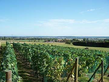
Viticulture


See also[]
- Communes of the Yvelines department
References[]
- ^ "Répertoire national des élus: les maires". data.gouv.fr, Plateforme ouverte des données publiques françaises (in French). 2 December 2020. Retrieved 7 December 2020.
- ^ "Populations légales 2018". INSEE. 28 December 2020.
| Wikimedia Commons has media related to Auteuil, Yvelines. |
| show Communes of the Yvelines department |
|---|
| show Authority control |
|---|
This Yvelines geographical article is a stub. You can help Wikipedia by . |
Categories:
- Communes of Yvelines
- Yvelines geography stubs